Area Overview for EN1 4RB
Photos of EN1 4RB

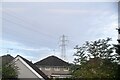
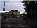
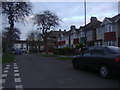
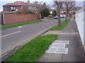
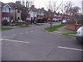

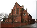
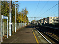
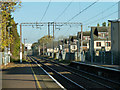
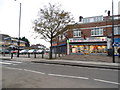
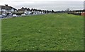
16 photos from this area
Area Information
Key information about the EN1 4RB including its size, population, and administrative classification.
- Area Type
- Postcode
- Area Size
- 4313 m²
- Population
- 1885
- Population Density
- 5462 people/km²
House Prices in EN1 4RB
14
Properties
£210,889
Average Sold Price
£118,000
Lowest Price
£252,500
Highest Price
Showing 14 properties
| Address | Type | Beds | Baths | Last Sale Price | Last Sale Date | |
|---|---|---|---|---|---|---|
| 113 Kempe Road, Enfield, EN1 4RB | Terraced | 2 | 1 | £252,500 | Mar 2015 | |
| 116 Kempe Road, Enfield, EN1 4RB | house | - | - | £208,500 | Nov 2012 | |
| 115 Kempe Road, Enfield, EN1 4RB | house | - | - | £216,000 | May 2009 | |
| 110 Kempe Road, Enfield, EN1 4RB | house | - | - | £228,000 | Feb 2009 | |
| 118 Kempe Road, Enfield, EN1 4RB | house | - | - | £242,000 | Sep 2008 | |
| 114 Kempe Road, Enfield, EN1 4RB | Terraced | - | - | £225,000 | Dec 2007 | |
| 112 Kempe Road, Enfield, EN1 4RB | house | - | - | £208,000 | Mar 2007 | |
| 117 Kempe Road, Enfield, EN1 4RB | Terraced | - | - | £200,000 | Jun 2005 | |
| 122 Kempe Road, Enfield, EN1 4RB | house | - | - | £118,000 | Jul 2000 | |
| 121 Kempe Road, Enfield, EN1 4RB | house | - | - | - | - |
Page 1 of 2
Energy Efficiency in EN1 4RB
Amenities
Schools
| Rank | School | Type | Entry gender | Ages |
|---|
Explore more schools in this area
Go to Schools tabDemographics
Household Size
Family (3-5 people)
most common
Accommodation Type
Houses
most common
Tenure
27
majority
Ethnic Group
White
most common
Religion
N/A
most common
Household Composition
N/A
most common
Age
47
median
Adults (30-64 years)
most common
Household Deprivation
N/A
with no deprivation
NS-SEC
17
in Lower managerial occupations
Explore more demographic insights in this area
Go to Demographics tabPlanning
Planning Constraints
- Flood RiskPremium
- Ramsar Wetland SitesPremium
- Area of Outstanding Natural BeautyPremium
- Protected Nature ReservePremium
- Protected WoodlandPremium