Area Overview for EN1 4NT
Photos of EN1 4NT

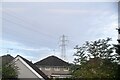
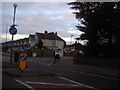
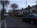
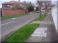
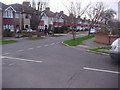


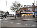
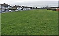
16 photos from this area
Area Information
Key information about the EN1 4NT including its size, population, and administrative classification.
- Area Type
- Postcode
- Area Size
- 6920 m²
- Population
- 1885
- Population Density
- 5462 people/km²
House Prices in EN1 4NT
31
Properties
£179,737
Average Sold Price
£106,633
Lowest Price
£260,000
Highest Price
Showing 31 properties
| Address | Type | Beds | Baths | Last Sale Price | Last Sale Date | |
|---|---|---|---|---|---|---|
| 92B Elsinge Road, Enfield, EN1 4NT | Flat | - | - | £255,000 | Feb 2023 | |
| 84A Elsinge Road, Enfield, EN1 4NT | Flat | 2 | 1 | £239,000 | Dec 2021 | |
| 86A Elsinge Road, Enfield, EN1 4NT | Flat | - | - | £260,000 | Mar 2017 | |
| 84B Elsinge Road, Enfield, EN1 4NT | Flat | - | - | £212,000 | May 2015 | |
| 90B Elsinge Road, Enfield, EN1 4NT | Flat | - | - | £106,633 | Jul 2013 | |
| 98C Elsinge Road, Enfield, EN1 4NT | Flat | - | - | £148,000 | Jul 2007 | |
| 102B Elsinge Road, Enfield, EN1 4NT | Flat | 2 | 1 | £135,000 | Sep 2006 | |
| 96A Elsinge Road, Enfield, EN1 4NT | Flat | - | - | £138,000 | Apr 2006 | |
| 100B Elsinge Road, Enfield, EN1 4NT | Flat | - | - | £124,000 | Apr 2003 | |
| 92A Elsinge Road, Enfield, EN1 4NT | Flat | - | - | - | - |
Page 1 of 4
Energy Efficiency in EN1 4NT
Amenities
Schools
| Rank | School | Type | Entry gender | Ages |
|---|
Explore more schools in this area
Go to Schools tabDemographics
Household Size
Family (3-5 people)
most common
Accommodation Type
Houses
most common
Tenure
27
majority
Ethnic Group
White
most common
Religion
N/A
most common
Household Composition
N/A
most common
Age
47
median
Adults (30-64 years)
most common
Household Deprivation
N/A
with no deprivation
NS-SEC
17
in Lower managerial occupations
Explore more demographic insights in this area
Go to Demographics tabPlanning
Planning Constraints
- Flood RiskPremium
- Ramsar Wetland SitesPremium
- Area of Outstanding Natural BeautyPremium
- Protected Nature ReservePremium
- Protected WoodlandPremium