Area Overview for EN1 4BX
Photos of EN1 4BX
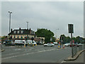
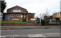
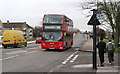
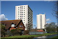
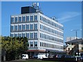
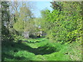
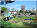
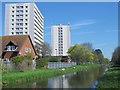
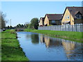
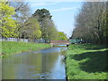
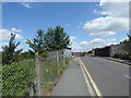
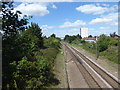
38 photos from this area
Area Information
Key information about the EN1 4BX including its size, population, and administrative classification.
- Area Type
- Postcode
- Area Size
- 8732 m²
- Population
- 2034
- Population Density
- 10779 people/km²
House Prices in EN1 4BX
31
Properties
£303,894
Average Sold Price
£92,000
Lowest Price
£670,000
Highest Price
Showing 31 properties
| Address | Type | Beds | Baths | Last Sale Price | Last Sale Date | |
|---|---|---|---|---|---|---|
| 909 Great Cambridge Road, Enfield, EN1 4BX | house | - | - | £212,000 | Aug 2025 | |
| 899 Great Cambridge Road, Enfield, EN1 4BX | Terraced | 3 | 1 | £450,000 | Aug 2025 | |
| 903 Great Cambridge Road, Enfield, EN1 4BX | house | - | - | £337,000 | Jun 2025 | |
| 873 Great Cambridge Road, Enfield, EN1 4BX | Terraced | 4 | 3 | £560,000 | Jun 2024 | |
| 889 Great Cambridge Road, Enfield, EN1 4BX | Terraced | 3 | 1 | £440,000 | Oct 2023 | |
| 907 Great Cambridge Road, Enfield, EN1 4BX | house | - | - | £465,000 | Mar 2021 | |
| 893 Great Cambridge Road, Enfield, EN1 4BX | Terraced | 3 | 1 | £415,000 | Dec 2020 | |
| 897 Great Cambridge Road, Enfield, EN1 4BX | house | 3 | 1 | £450,000 | Nov 2020 | |
| 879 Great Cambridge Road, Enfield, EN1 4BX | house | - | - | £670,000 | Mar 2020 | |
| 919 Great Cambridge Road, Enfield, EN1 4BX | Terraced | 3 | 1 | £370,000 | Sep 2018 |
Page 1 of 4
Energy Efficiency in EN1 4BX
Amenities
Schools
| Rank | School | Type | Entry gender | Ages |
|---|
Explore more schools in this area
Go to Schools tabDemographics
Household Size
Family (3-5 people)
most common
Accommodation Type
Houses
most common
Tenure
48
majority
Ethnic Group
White
most common
Religion
N/A
most common
Household Composition
N/A
most common
Age
47
median
Adults (30-64 years)
most common
Household Deprivation
N/A
with no deprivation
NS-SEC
29
in Lower managerial occupations
Explore more demographic insights in this area
Go to Demographics tabPlanning
Planning Constraints
- Flood RiskPremium
- Ramsar Wetland SitesPremium
- Area of Outstanding Natural BeautyPremium
- Protected Nature ReservePremium
- Protected WoodlandPremium