Area Overview for EN1 3RG
Photos of EN1 3RG
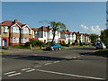
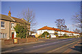
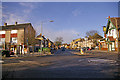
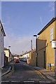
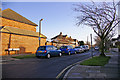
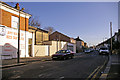
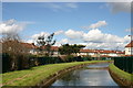
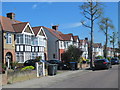
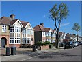
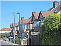
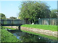
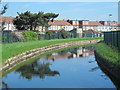
100 photos from this area
Area Information
Key information about the EN1 3RG including its size, population, and administrative classification.
- Area Type
- Postcode
- Area Size
- 1.3 hectares
- Population
- 1654
- Population Density
- 7546 people/km²
House Prices in EN1 3RG
38
Properties
£358,589
Average Sold Price
£162,500
Lowest Price
£800,000
Highest Price
Showing 38 properties
| Address | Type | Beds | Baths | Last Sale Price | Last Sale Date | |
|---|---|---|---|---|---|---|
| 125 Kenilworth Crescent, Enfield, EN1 3RG | Terraced | 5 | 2 | £800,000 | Mar 2025 | |
| 109 Kenilworth Crescent, Enfield, EN1 3RG | Terraced | 3 | 1 | £475,000 | Nov 2024 | |
| 80 Kenilworth Crescent, Enfield, EN1 3RG | Terraced | 3 | 2 | £569,500 | Jul 2024 | |
| 121 Kenilworth Crescent, Enfield, EN1 3RG | Retail | 4 | 1 | £590,000 | Sep 2022 | |
| 86 Kenilworth Crescent, Enfield, EN1 3RG | Semi-detached | 3 | 1 | £480,000 | Jun 2021 | |
| 133 Kenilworth Crescent, Enfield, EN1 3RG | house | - | - | £475,000 | Dec 2020 | |
| 113 Kenilworth Crescent, Enfield, EN1 3RG | house | - | - | £478,500 | Dec 2020 | |
| 90 Kenilworth Crescent, Enfield, EN1 3RG | Terraced | 4 | 1 | £430,000 | Apr 2020 | |
| 72 Kenilworth Crescent, Enfield, EN1 3RG | Terraced | 4 | 2 | £495,000 | Apr 2019 | |
| 143 Kenilworth Crescent, Enfield, EN1 3RG | house | 4 | 2 | £535,000 | May 2018 |
Page 1 of 4
Energy Efficiency in EN1 3RG
Amenities
Schools
| Rank | School | Type | Entry gender | Ages |
|---|
Explore more schools in this area
Go to Schools tabDemographics
Household Size
Family (3-5 people)
most common
Accommodation Type
Houses
most common
Tenure
79
majority
Ethnic Group
White
most common
Religion
N/A
most common
Household Composition
N/A
most common
Age
47
median
Adults (30-64 years)
most common
Household Deprivation
N/A
with no deprivation
NS-SEC
37
in Lower managerial occupations
Explore more demographic insights in this area
Go to Demographics tabPlanning
Planning Constraints
- Flood RiskPremium
- Ramsar Wetland SitesPremium
- Area of Outstanding Natural BeautyPremium
- Protected Nature ReservePremium
- Protected WoodlandPremium