Area Overview for EN1 3QF
Photos of EN1 3QF
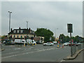
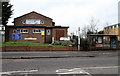
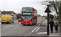
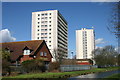
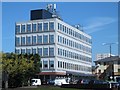
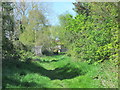
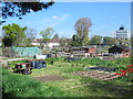
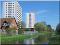
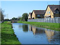
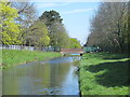
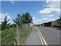
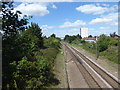
38 photos from this area
Area Information
Key information about the EN1 3QF including its size, population, and administrative classification.
- Area Type
- Postcode
- Area Size
- 9070 m²
- Population
- 2123
- Population Density
- 6477 people/km²
House Prices in EN1 3QF
28
Properties
£196,330
Average Sold Price
£61,500
Lowest Price
£400,000
Highest Price
Showing 28 properties
| Address | Type | Beds | Baths | Last Sale Price | Last Sale Date | |
|---|---|---|---|---|---|---|
| 66 Central Avenue, Enfield, EN1 3QF | house | 2 | 1 | £330,000 | Jun 2023 | |
| 72 Central Avenue, Enfield, EN1 3QF | Terraced | 3 | 1 | £385,000 | Dec 2019 | |
| 77 Central Avenue, Enfield, EN1 3QF | Flat | 3 | 2 | £400,000 | Dec 2017 | |
| 67 Central Avenue, Enfield, EN1 3QF | Terraced | 3 | 1 | £199,950 | Sep 2016 | |
| 72A Central Avenue, Enfield, EN1 3QF | Detached | 5 | 2 | £250,000 | Apr 2008 | |
| 74 Central Avenue, Enfield, EN1 3QF | Flat | - | - | £141,000 | Jul 2007 | |
| 74A Central Avenue, Enfield, EN1 3QF | Flat | 2 | 1 | £140,000 | Apr 2006 | |
| 63A Central Avenue, Enfield, EN1 3QF | Detached | - | - | £225,000 | Mar 2005 | |
| 62 Central Avenue, Enfield, EN1 3QF | Terraced | 4 | - | £186,000 | Jul 2003 | |
| 83 Central Avenue, Enfield, EN1 3QF | house | - | - | £179,995 | Mar 2003 |
Page 1 of 3
Energy Efficiency in EN1 3QF
Amenities
Schools
| Rank | School | Type | Entry gender | Ages |
|---|
Explore more schools in this area
Go to Schools tabDemographics
Household Size
Family (3-5 people)
most common
Accommodation Type
Houses
most common
Tenure
51
majority
Ethnic Group
White
most common
Religion
N/A
most common
Household Composition
N/A
most common
Age
47
median
Adults (30-64 years)
most common
Household Deprivation
N/A
with no deprivation
NS-SEC
25
in Lower managerial occupations
Explore more demographic insights in this area
Go to Demographics tabPlanning
Planning Constraints
- Flood RiskPremium
- Ramsar Wetland SitesPremium
- Area of Outstanding Natural BeautyPremium
- Protected Nature ReservePremium
- Protected WoodlandPremium