Area Overview for EN1 3HR
Photos of EN1 3HR
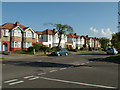
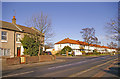
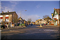
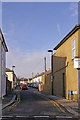
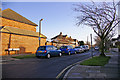
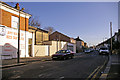
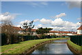
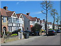
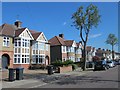
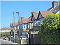
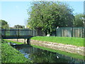
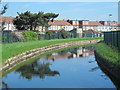
100 photos from this area
Area Information
Key information about the EN1 3HR including its size, population, and administrative classification.
- Area Type
- Postcode
- Area Size
- 4972 m²
- Population
- 1566
- Population Density
- 8497 people/km²
House Prices in EN1 3HR
32
Properties
£323,842
Average Sold Price
£82,000
Lowest Price
£573,000
Highest Price
Showing 32 properties
| Address | Type | Beds | Baths | Last Sale Price | Last Sale Date | |
|---|---|---|---|---|---|---|
| 5 Churchbury Road, Enfield, EN1 3HR | Terraced | 3 | 2 | £448,000 | Oct 2024 | |
| 8 Churchbury Road, Enfield, EN1 3HR | Terraced | 2 | 1 | £573,000 | Sep 2024 | |
| 22 Churchbury Road, Enfield, EN1 3HR | house | 2 | 1 | £387,500 | Aug 2022 | |
| 21 Churchbury Road, Enfield, EN1 3HR | house | - | - | £450,000 | Jun 2021 | |
| 15 Churchbury Road, Enfield, EN1 3HR | Terraced | 3 | 1 | £465,000 | Aug 2020 | |
| 23 Churchbury Road, Enfield, EN1 3HR | Terraced | 2 | 1 | £355,000 | Jul 2020 | |
| 9 Churchbury Road, Enfield, EN1 3HR | Terraced | 3 | 1 | £353,000 | Nov 2019 | |
| 25 Churchbury Road, Enfield, EN1 3HR | Terraced | 2 | - | £400,000 | May 2019 | |
| 27 Churchbury Road, Enfield, EN1 3HR | Terraced | 2 | 1 | £390,000 | Feb 2016 | |
| 20 Churchbury Road, Enfield, EN1 3HR | Terraced | 2 | 1 | £380,000 | Jan 2016 |
Page 1 of 4
Energy Efficiency in EN1 3HR
Amenities
Schools
| Rank | School | Type | Entry gender | Ages |
|---|
Explore more schools in this area
Go to Schools tabDemographics
Household Size
Family (3-5 people)
most common
Accommodation Type
Flats
most common
Tenure
52
majority
Ethnic Group
White
most common
Religion
N/A
most common
Household Composition
N/A
most common
Age
47
median
Adults (30-64 years)
most common
Household Deprivation
N/A
with no deprivation
NS-SEC
37
in Lower managerial occupations
Explore more demographic insights in this area
Go to Demographics tabPlanning
Planning Constraints
- Flood RiskPremium
- Ramsar Wetland SitesPremium
- Area of Outstanding Natural BeautyPremium
- Protected Nature ReservePremium
- Protected WoodlandPremium