Area Overview for EN1 2JT
Photos of EN1 2JT
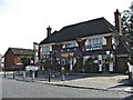
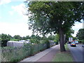
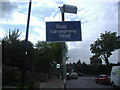
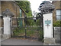
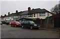
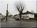
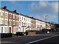
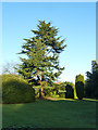
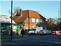

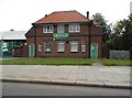
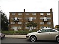
23 photos from this area
Area Information
Key information about the EN1 2JT including its size, population, and administrative classification.
- Area Type
- Postcode
- Area Size
- 8151 m²
- Population
- 1562
- Population Density
- 6403 people/km²
House Prices in EN1 2JT
25
Properties
£428,976
Average Sold Price
£104,500
Lowest Price
£800,000
Highest Price
Showing 25 properties
| Address | Type | Beds | Baths | Last Sale Price | Last Sale Date | |
|---|---|---|---|---|---|---|
| 62 Queen Annes Grove, Enfield, EN1 2JT | house | - | - | £790,000 | Apr 2021 | |
| 86 Queen Annes Grove, Enfield, EN1 2JT | Semi-detached | 3 | - | £800,000 | Oct 2020 | |
| 60 Queen Annes Grove, Enfield, EN1 2JT | Semi-detached | 3 | 1 | £640,000 | Aug 2019 | |
| 72A Queen Annes Grove, Enfield, EN1 2JT | Maisonette | 1 | 1 | £320,000 | Sep 2018 | |
| 58 Queen Annes Grove, Enfield, EN1 2JT | Semi-detached | 4 | 2 | £612,500 | Mar 2016 | |
| 82 Queen Annes Grove, Enfield, EN1 2JT | Semi-detached | 5 | 3 | £493,000 | Jun 2015 | |
| 54 Queen Annes Grove, Enfield, EN1 2JT | Semi-detached | 4 | 2 | £599,995 | Oct 2013 | |
| 76 Queen Annes Grove, Enfield, EN1 2JT | house | - | - | £410,000 | Jun 2010 | |
| 64 Queen Annes Grove, Enfield, EN1 2JT | Detached | 3 | 2 | £442,500 | Feb 2008 | |
| 50 Queen Annes Grove, Enfield, EN1 2JT | Semi-detached | - | - | £312,500 | Mar 2006 |
Page 1 of 3
Energy Efficiency in EN1 2JT
Amenities
Schools
| Rank | School | Type | Entry gender | Ages |
|---|
Explore more schools in this area
Go to Schools tabDemographics
Household Size
Family (3-5 people)
most common
Accommodation Type
Houses
most common
Tenure
86
majority
Ethnic Group
White
most common
Religion
N/A
most common
Household Composition
N/A
most common
Age
47
median
Adults (30-64 years)
most common
Household Deprivation
N/A
with no deprivation
NS-SEC
35
in Lower managerial occupations
Explore more demographic insights in this area
Go to Demographics tabPlanning
Planning Constraints
- Flood RiskPremium
- Ramsar Wetland SitesPremium
- Area of Outstanding Natural BeautyPremium
- Protected Nature ReservePremium
- Protected WoodlandPremium