Area Overview for EN1 1XL
Photos of EN1 1XL
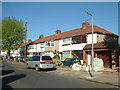
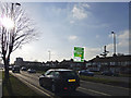
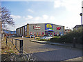
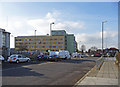
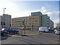
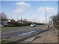
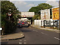
33 photos from this area
Area Information
Key information about the EN1 1XL including its size, population, and administrative classification.
- Area Type
- Postcode
- Area Size
- 4461 m²
- Population
- 1658
- Population Density
- 8124 people/km²
House Prices in EN1 1XL
23
Properties
£262,563
Average Sold Price
£111,250
Lowest Price
£475,000
Highest Price
Showing 23 properties
| Address | Type | Beds | Baths | Last Sale Price | Last Sale Date | |
|---|---|---|---|---|---|---|
| 44 Leighton Road, Enfield, EN1 1XL | Terraced | 3 | 1 | £415,000 | Apr 2025 | |
| 53 Leighton Road, Enfield, EN1 1XL | Terraced | 2 | 1 | £475,000 | Jul 2023 | |
| 46B Leighton Road, Enfield, EN1 1XL | Flat | - | - | £265,000 | Jun 2017 | |
| 34 Leighton Road, Enfield, EN1 1XL | house | - | - | £408,000 | Jun 2015 | |
| 46A Leighton Road, Enfield, EN1 1XL | Maisonette | 2 | 1 | £145,000 | Feb 2011 | |
| 38 Leighton Road, Enfield, EN1 1XL | house | - | - | £248,000 | Jan 2011 | |
| 43 Leighton Road, Enfield, EN1 1XL | Semi-detached | - | - | £245,000 | Aug 2008 | |
| 36 Leighton Road, Enfield, EN1 1XL | house | - | - | £216,500 | Nov 2006 | |
| 28 Leighton Road, Enfield, EN1 1XL | Retail | 4 | 2 | £325,000 | Oct 2006 | |
| 51 Leighton Road, Enfield, EN1 1XL | Terraced | 2 | 1 | £159,000 | Dec 2002 |
Page 1 of 3
Energy Efficiency in EN1 1XL
Amenities
Schools
| Rank | School | Type | Entry gender | Ages |
|---|
Explore more schools in this area
Go to Schools tabDemographics
Household Size
Family (3-5 people)
most common
Accommodation Type
Houses
most common
Tenure
53
majority
Ethnic Group
White
most common
Religion
N/A
most common
Household Composition
N/A
most common
Age
47
median
Adults (30-64 years)
most common
Household Deprivation
N/A
with no deprivation
NS-SEC
35
in Lower managerial occupations
Explore more demographic insights in this area
Go to Demographics tabPlanning
Planning Constraints
- Flood RiskPremium
- Ramsar Wetland SitesPremium
- Area of Outstanding Natural BeautyPremium
- Protected Nature ReservePremium
- Protected WoodlandPremium