Area Overview for EN1 1TD
Photos of EN1 1TD
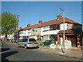
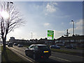
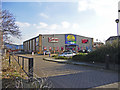
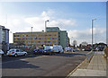
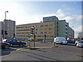
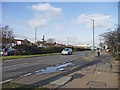
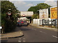
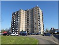
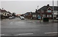
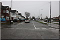
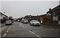
33 photos from this area
Area Information
Key information about the EN1 1TD including its size, population, and administrative classification.
- Area Type
- Postcode
- Area Size
- 1.9 hectares
- Population
- 1923
- Population Density
- 4949 people/km²
House Prices in EN1 1TD
40
Properties
£206,652
Average Sold Price
£60,000
Lowest Price
£470,000
Highest Price
Showing 40 properties
| Address | Type | Beds | Baths | Last Sale Price | Last Sale Date | |
|---|---|---|---|---|---|---|
| 41 Lincoln Way, Enfield, EN1 1TD | house | - | - | £453,000 | Aug 2022 | |
| 79 Lincoln Way, Enfield, EN1 1TD | house | - | - | £340,000 | Sep 2021 | |
| 78 Lincoln Way, Enfield, EN1 1TD | Semi-detached | 4 | 2 | £470,000 | Feb 2021 | |
| 45 Lincoln Way, Enfield, EN1 1TD | Semi-detached | 3 | - | £425,000 | Jan 2021 | |
| 63 Lincoln Way, Enfield, EN1 1TD | Semi-detached | 1 | 1 | £382,000 | Mar 2019 | |
| 77 Lincoln Way, Enfield, EN1 1TD | Semi-detached | 3 | - | £390,000 | May 2017 | |
| 55 Lincoln Way, Enfield, EN1 1TD | Semi-detached | 3 | 1 | £389,500 | Apr 2017 | |
| 54 Lincoln Way, Enfield, EN1 1TD | Semi-detached | 3 | 1 | £210,000 | Mar 2013 | |
| 80 Lincoln Way, Enfield, EN1 1TD | Semi-detached | - | - | £259,995 | Oct 2007 | |
| 72 Lincoln Way, Enfield, EN1 1TD | Flat | 1 | 1 | £229,000 | Nov 2006 |
Page 1 of 4
Energy Efficiency in EN1 1TD
Amenities
Schools
| Rank | School | Type | Entry gender | Ages |
|---|
Explore more schools in this area
Go to Schools tabDemographics
Household Size
Family (3-5 people)
most common
Accommodation Type
Houses
most common
Tenure
65
majority
Ethnic Group
White
most common
Religion
N/A
most common
Household Composition
N/A
most common
Age
47
median
Adults (30-64 years)
most common
Household Deprivation
N/A
with no deprivation
NS-SEC
32
in Lower managerial occupations
Explore more demographic insights in this area
Go to Demographics tabPlanning
Planning Constraints
- Flood RiskPremium
- Ramsar Wetland SitesPremium
- Area of Outstanding Natural BeautyPremium
- Protected Nature ReservePremium
- Protected WoodlandPremium