Area Overview for EN1 1NJ
Photos of EN1 1NJ
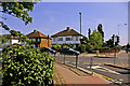
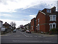
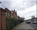
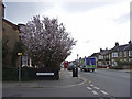
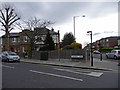
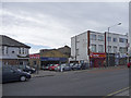

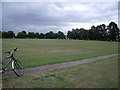


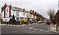

100 photos from this area
Area Information
Key information about the EN1 1NJ including its size, population, and administrative classification.
- Area Type
- Postcode
- Area Size
- 2700 m²
- Population
- 2277
- Population Density
- 11947 people/km²
House Prices in EN1 1NJ
20
Properties
£190,000
Average Sold Price
£10,000
Lowest Price
£315,000
Highest Price
Showing 20 properties
| Address | Type | Beds | Baths | Last Sale Price | Last Sale Date | |
|---|---|---|---|---|---|---|
| 49 Eaton Road, Enfield, EN1 1NJ | Maisonette | - | - | £305,000 | Sep 2023 | |
| 51 Eaton Road, Enfield, EN1 1NJ | Maisonette | 1 | 1 | £10,000 | Jul 2023 | |
| 57 Eaton Road, Enfield, EN1 1NJ | Flat | 2 | 1 | £300,000 | Nov 2022 | |
| 45 Eaton Road, Enfield, EN1 1NJ | Flat | 2 | 1 | £315,000 | Oct 2022 | |
| 61 Eaton Road, Enfield, EN1 1NJ | Flat | - | - | £305,000 | May 2021 | |
| 43 Eaton Road, Enfield, EN1 1NJ | Maisonette | 1 | 1 | £240,000 | Oct 2019 | |
| 55 Eaton Road, Enfield, EN1 1NJ | Flat | 1 | - | £220,000 | Jun 2018 | |
| 47 Eaton Road, Enfield, EN1 1NJ | Flat | 1 | 1 | £200,000 | Feb 2014 | |
| 41 Eaton Road, Enfield, EN1 1NJ | Flat | - | - | £182,000 | Aug 2012 | |
| 37 Eaton Road, Enfield, EN1 1NJ | Flat | - | - | £170,000 | Dec 2004 |
Page 1 of 2
Energy Efficiency in EN1 1NJ
Amenities
Schools
| Rank | School | Type | Entry gender | Ages |
|---|
Explore more schools in this area
Go to Schools tabDemographics
Household Size
Family (3-5 people)
most common
Accommodation Type
Flats
most common
Tenure
54
majority
Ethnic Group
White
most common
Religion
N/A
most common
Household Composition
N/A
most common
Age
47
median
Adults (30-64 years)
most common
Household Deprivation
N/A
with no deprivation
NS-SEC
40
in Lower managerial occupations
Explore more demographic insights in this area
Go to Demographics tabPlanning
Planning Constraints
- Flood RiskPremium
- Ramsar Wetland SitesPremium
- Area of Outstanding Natural BeautyPremium
- Protected Nature ReservePremium
- Protected WoodlandPremium