Area Overview for EN1 1NF
Photos of EN1 1NF
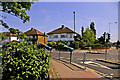
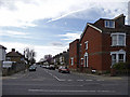
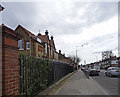
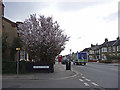
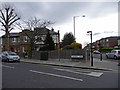
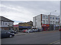

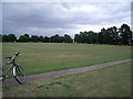
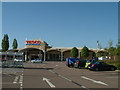
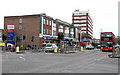
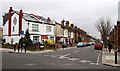
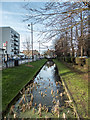
100 photos from this area
Area Information
Key information about the EN1 1NF including its size, population, and administrative classification.
- Area Type
- Postcode
- Area Size
- 7334 m²
- Population
- 1688
- Population Density
- 3021 people/km²
House Prices in EN1 1NF
19
Properties
£385,550
Average Sold Price
£81,000
Lowest Price
£1,147,000
Highest Price
Showing 19 properties
| Address | Type | Beds | Baths | Last Sale Price | Last Sale Date | |
|---|---|---|---|---|---|---|
| 27A Queens Road, Enfield, EN1 1NF | Flat | - | - | £343,000 | Apr 2023 | |
| 27 Queens Road, Enfield, EN1 1NF | Flat | - | - | £365,000 | Nov 2021 | |
| 23 Queens Road, Enfield, EN1 1NF | house | - | - | £1,147,000 | Nov 2020 | |
| 21 Queens Road, Enfield, EN1 1NF | Bungalow | 2 | 1 | £470,000 | Aug 2019 | |
| 29A Queens Road, Enfield, EN1 1NF | Maisonette | 2 | 1 | £360,000 | May 2018 | |
| 29 Queens Road, Enfield, EN1 1NF | Maisonette | - | - | £244,995 | Feb 2014 | |
| 25A Queens Road, Enfield, EN1 1NF | Flat | 2 | - | £271,000 | Aug 2013 | |
| 18 Queens Road, Enfield, EN1 1NF | Terraced | - | - | £323,500 | Jun 2008 | |
| 19 Queens Road, Enfield, EN1 1NF | Detached | - | - | £250,000 | May 2001 | |
| 25 Queens Road, Enfield, EN1 1NF | Flat | - | - | £81,000 | Oct 1996 |
Page 1 of 2
Energy Efficiency in EN1 1NF
Amenities
Schools
| Rank | School | Type | Entry gender | Ages |
|---|
Explore more schools in this area
Go to Schools tabDemographics
Household Size
Family (3-5 people)
most common
Accommodation Type
Houses
most common
Tenure
63
majority
Ethnic Group
White
most common
Religion
N/A
most common
Household Composition
N/A
most common
Age
47
median
Adults (30-64 years)
most common
Household Deprivation
N/A
with no deprivation
NS-SEC
34
in Lower managerial occupations
Explore more demographic insights in this area
Go to Demographics tabPlanning
Planning Constraints
- Flood RiskPremium
- Ramsar Wetland SitesPremium
- Area of Outstanding Natural BeautyPremium
- Protected Nature ReservePremium
- Protected WoodlandPremium