Area Overview for EN1 1EN
Photos of EN1 1EN
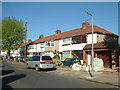
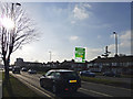
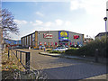
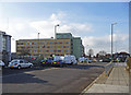
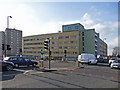
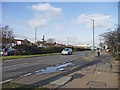
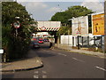
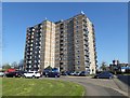
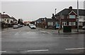
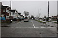
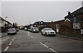
33 photos from this area
Area Information
Key information about the EN1 1EN including its size, population, and administrative classification.
- Area Type
- Postcode
- Area Size
- 1.7 hectares
- Population
- 1414
- Population Density
- 4293 people/km²
House Prices in EN1 1EN
24
Properties
£332,430
Average Sold Price
£122,500
Lowest Price
£535,000
Highest Price
Showing 24 properties
| Address | Type | Beds | Baths | Last Sale Price | Last Sale Date | |
|---|---|---|---|---|---|---|
| 47 Woodgrange Avenue, Enfield, EN1 1EN | Semi-detached | 4 | 2 | £465,000 | Mar 2024 | |
| 76 Woodgrange Avenue, Enfield, EN1 1EN | Terraced | 3 | 1 | £450,000 | Jun 2021 | |
| 48 Woodgrange Avenue, Enfield, EN1 1EN | Semi-detached | 4 | 1 | £526,000 | May 2021 | |
| 58 Woodgrange Avenue, Enfield, EN1 1EN | house | 4 | 2 | £535,000 | Feb 2021 | |
| 51 Woodgrange Avenue, Enfield, EN1 1EN | Terraced | 3 | 1 | £407,500 | Oct 2019 | |
| 70 Woodgrange Avenue, Enfield, EN1 1EN | Terraced | 3 | 2 | £499,950 | Jul 2018 | |
| 66 Woodgrange Avenue, Enfield, EN1 1EN | Terraced | 3 | - | £122,500 | Apr 2011 | |
| 50 Woodgrange Avenue, Enfield, EN1 1EN | house | 5 | 2 | £351,500 | May 2010 | |
| 56 Woodgrange Avenue, Enfield, EN1 1EN | Terraced | - | - | £250,000 | Nov 2009 | |
| 72 Woodgrange Avenue, Enfield, EN1 1EN | Terraced | - | - | £241,000 | Mar 2008 |
Page 1 of 3
Energy Efficiency in EN1 1EN
Amenities
Schools
| Rank | School | Type | Entry gender | Ages |
|---|
Explore more schools in this area
Go to Schools tabDemographics
Household Size
Family (3-5 people)
most common
Accommodation Type
Houses
most common
Tenure
67
majority
Ethnic Group
White
most common
Religion
N/A
most common
Household Composition
N/A
most common
Age
47
median
Adults (30-64 years)
most common
Household Deprivation
N/A
with no deprivation
NS-SEC
25
in Lower managerial occupations
Explore more demographic insights in this area
Go to Demographics tabPlanning
Planning Constraints
- Flood RiskPremium
- Ramsar Wetland SitesPremium
- Area of Outstanding Natural BeautyPremium
- Protected Nature ReservePremium
- Protected WoodlandPremium