Area Overview for Ealing Common Ward
Photos of Ealing Common Ward
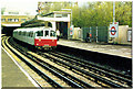
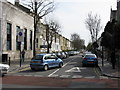
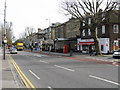
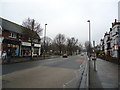

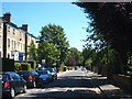
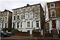


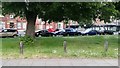
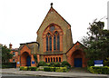

100 photos from this area
Area Information
Living in Ealing Common Ward, Ealing
- Area Type
- District Borough Unitary Ward
- Area Size
- 2.4 km²
- Population
- Not available
- Population Density
- Not available
Demographics
Community Profile of Ealing Common Ward
Household Size
total
most common
Accommodation Type
total
most common
Tenure
45
majority
Ethnic Group
total
most common
Religion
total
most common
Household Composition
total
most common
Age
70
median
Age: Total
most common
Household Deprivation
N/A
with no deprivation
NS-SEC
48
in Lower managerial occupations
Explore more demographic insights in this area
Go to Demographics tabPlanning
Planning Constraints
- Flood RiskPremium
- Ramsar Wetland SitesPremium
- Area of Outstanding Natural BeautyPremium
- Protected Nature ReservePremium
- Protected WoodlandPremium
- Crime RiskPremium
Explore more planning insights in this area
Open Planning mapFrequently Asked Questions
Who resides in Ealing Common Ward and what is the community like?
The community in Ealing Common Ward is dominated by older adults, with a median age of 70. This demographic skew creates a quiet, mature neighbourhood. Only 45% of residents are homeowners, suggesting a significant portion of the population resides in private rentals. The area is centred on Ealing Common, a 47-acre green space that defines the suburban character of the ward.