Area Overview for E9 5SD
Photos of E9 5SD
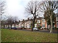
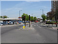
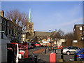
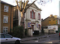
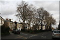
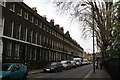
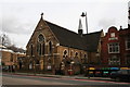
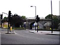
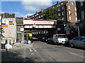
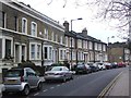
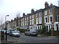
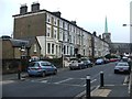
100 photos from this area
Area Information
Key information about the E9 5SD including its size, population, and administrative classification.
- Area Type
- Postcode
- Area Size
- 3746 m²
- Population
- 1845
- Population Density
- 25949 people/km²
House Prices in E9 5SD
36
Properties
£130,499
Average Sold Price
£47,000
Lowest Price
£275,000
Highest Price
Showing 36 properties
| Address | Type | Beds | Baths | Last Sale Price | Last Sale Date | |
|---|---|---|---|---|---|---|
| 73 Barnabas Road, London, E9 5SD | Maisonette | - | - | £275,000 | Oct 2008 | |
| 65 Barnabas Road, London, E9 5SD | Flat | 1 | 1 | £99,995 | Dec 2000 | |
| 35A Barnabas Road, London, E9 5SD | Block of Flats | - | - | £100,000 | Jun 2000 | |
| 63 Barnabas Road, London, E9 5SD | Flat | - | - | £47,000 | May 1999 | |
| Flat 3, 33 Barnabas Road, London, E9 5SD | Flat | 2 | 1 | - | - | |
| Flat 4, 33 Barnabas Road, London, E9 5SD | Flat | 1 | 1 | - | - | |
| 83 Barnabas Road, London, E9 5SD | house | 3 | - | - | - | |
| Flat B, 37 Barnabas Road, London, E9 5SD | Flat | - | - | - | - | |
| New Homerton Cars, 33A Barnabas Road, London, E9 5SD | Office | - | - | - | - | |
| Flat 2, 33 Barnabas Road, London, E9 5SD | Flat | 1 | 1 | - | - |
Page 1 of 4
Energy Efficiency in E9 5SD
Amenities
Schools
| Rank | School | Type | Entry gender | Ages |
|---|
Explore more schools in this area
Go to Schools tabDemographics
Household Size
Family (3-5 people)
most common
Accommodation Type
Flats
most common
Tenure
12
majority
Ethnic Group
black_total
most common
Religion
N/A
most common
Household Composition
N/A
most common
Age
47
median
Adults (30-64 years)
most common
Household Deprivation
N/A
with no deprivation
NS-SEC
24
in Lower managerial occupations
Explore more demographic insights in this area
Go to Demographics tabPlanning
Planning Constraints
- Flood RiskPremium
- Ramsar Wetland SitesPremium
- Area of Outstanding Natural BeautyPremium
- Protected Nature ReservePremium
- Protected WoodlandPremium