Area Overview for E7 9DL
Photos of E7 9DL
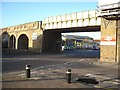
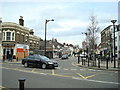
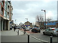

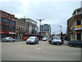
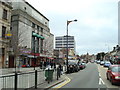

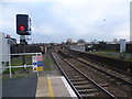
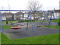
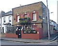


80 photos from this area
Area Information
Key information about the E7 9DL including its size, population, and administrative classification.
- Area Type
- Postcode
- Area Size
- 5711 m²
- Population
- 1811
- Population Density
- 11938 people/km²
House Prices in E7 9DL
49
Properties
£367,353
Average Sold Price
£36,000
Lowest Price
£700,000
Highest Price
Showing 49 properties
| Address | Type | Beds | Baths | Last Sale Price | Last Sale Date | |
|---|---|---|---|---|---|---|
| 94 Field Road, Forest Gate, London, E7 9DL | Terraced | 4 | 1 | £586,000 | Apr 2024 | |
| House Excl Basement, 72A Field Road, Forest Gate, London, E7 9DL | Maisonette | 4 | 2 | £700,000 | Nov 2023 | |
| 106 Field Road, Forest Gate, London, E7 9DL | Terraced | 4 | - | £566,000 | Nov 2021 | |
| 96 Field Road, Forest Gate, London, E7 9DL | house | - | - | £650,100 | Apr 2021 | |
| 60 Field Road, Forest Gate, London, E7 9DL | house | 2 | 1 | £197,500 | Jul 2012 | |
| Former 102, Field Road, Forest Gate, London, E7 9DL | Detached | - | - | £500,000 | Jul 2011 | |
| 102 Field Road, Forest Gate, London, E7 9DL | Terraced | - | - | £500,000 | Jul 2011 | |
| 74 Field Road, Forest Gate, London, E7 9DL | Detached | 2 | - | £315,000 | Jun 2011 | |
| 78 Field Road, Forest Gate, London, E7 9DL | Terraced | - | - | £275,000 | Aug 2006 | |
| 84 Field Road, Forest Gate, London, E7 9DL | house | - | - | £202,500 | Nov 2005 |
Page 1 of 5
Energy Efficiency in E7 9DL
Amenities
Schools
| Rank | School | Type | Entry gender | Ages |
|---|
Explore more schools in this area
Go to Schools tabDemographics
Household Size
Family (3-5 people)
most common
Accommodation Type
Houses
most common
Tenure
41
majority
Ethnic Group
White
most common
Religion
N/A
most common
Household Composition
N/A
most common
Age
47
median
Adults (30-64 years)
most common
Household Deprivation
N/A
with no deprivation
NS-SEC
30
in Lower managerial occupations
Explore more demographic insights in this area
Go to Demographics tabPlanning
Planning Constraints
- Flood RiskPremium
- Ramsar Wetland SitesPremium
- Area of Outstanding Natural BeautyPremium
- Protected Nature ReservePremium
- Protected WoodlandPremium