Area Overview for E7 8PG
Photos of E7 8PG
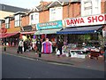
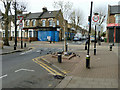
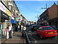
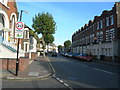
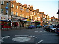
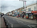
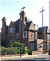
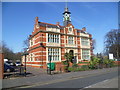
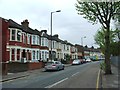
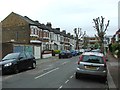
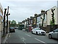
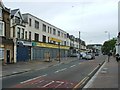
71 photos from this area
Area Information
Key information about the E7 8PG including its size, population, and administrative classification.
- Area Type
- Postcode
- Area Size
- 4081 m²
- Population
- 2367
- Population Density
- 21756 people/km²
House Prices in E7 8PG
48
Properties
£169,499
Average Sold Price
£46,000
Lowest Price
£451,000
Highest Price
Showing 48 properties
| Address | Type | Beds | Baths | Last Sale Price | Last Sale Date | |
|---|---|---|---|---|---|---|
| 314 Katherine Road, Forest Gate, London, E7 8PG | house | - | - | £451,000 | Sep 2023 | |
| 302 Katherine Road, Forest Gate, London, E7 8PG | house | - | - | £200,000 | Sep 2009 | |
| 312A Katherine Road, Forest Gate, London, E7 8PG | Flat | - | - | £150,000 | May 2006 | |
| 296 Katherine Road, Forest Gate, London, E7 8PG | Flat | - | - | £46,000 | Mar 2001 | |
| 312 Katherine Road, Forest Gate, London, E7 8PG | Flat | - | - | £59,995 | Oct 2000 | |
| 308 Katherine Road, Forest Gate, London, E7 8PG | Terraced | - | - | £110,000 | Jan 1999 | |
| 288 Katherine Road, Forest Gate, London, E7 8PG | Flat | 3 | 1 | - | - | |
| 316 Katherine Road, Forest Gate, London, E7 8PG | Land | - | - | - | - | |
| 308A Katherine Road, East Ham, London, E7 8PG | Flat | - | - | - | - | |
| 312 Katherine Road, East Ham, London, E7 8PG | undefined | - | - | - | - |
Page 1 of 5
Energy Efficiency in E7 8PG
Amenities
Schools
| Rank | School | Type | Entry gender | Ages |
|---|
Explore more schools in this area
Go to Schools tabDemographics
Household Size
Family (3-5 people)
most common
Accommodation Type
Houses
most common
Tenure
38
majority
Ethnic Group
asian_total
most common
Religion
N/A
most common
Household Composition
N/A
most common
Age
47
median
Adults (30-64 years)
most common
Household Deprivation
N/A
with no deprivation
NS-SEC
18
in Lower managerial occupations
Explore more demographic insights in this area
Go to Demographics tabPlanning
Planning Constraints
- Flood RiskPremium
- Ramsar Wetland SitesPremium
- Area of Outstanding Natural BeautyPremium
- Protected Nature ReservePremium
- Protected WoodlandPremium