Area Overview for E7 0QX
Photos of E7 0QX
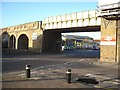
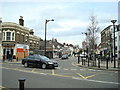
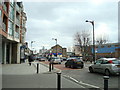

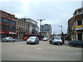
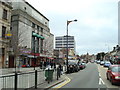
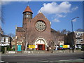
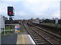
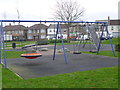
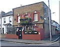
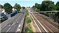
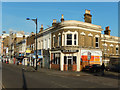
80 photos from this area
Area Information
Key information about the E7 0QX including its size, population, and administrative classification.
- Area Type
- Postcode
- Area Size
- 1.8 hectares
- Population
- 1969
- Population Density
- 14268 people/km²
House Prices in E7 0QX
70
Properties
£319,537
Average Sold Price
£45,500
Lowest Price
£921,000
Highest Price
Showing 70 properties
| Address | Type | Beds | Baths | Last Sale Price | Last Sale Date | |
|---|---|---|---|---|---|---|
| Annexe, 22D Windsor Road, Forest Gate, London, E7 0QX | Terraced | 2 | 1 | £485,000 | Dec 2024 | |
| 26 Windsor Road, Forest Gate, London, E7 0QX | Terraced | 2 | 1 | £445,000 | Dec 2023 | |
| 31A Windsor Road, Forest Gate, London, E7 0QX | Terraced | 2 | 1 | £445,000 | Nov 2022 | |
| 27D Windsor Road, Forest Gate, London, E7 0QX | Maisonette | 2 | 1 | £310,000 | Sep 2022 | |
| 24 Windsor Road, Forest Gate, London, E7 0QX | house | - | - | £500,000 | Sep 2017 | |
| 25D Windsor Road, Forest Gate, London, E7 0QX | Flat | - | - | £220,000 | Mar 2017 | |
| 21 Windsor Road, Forest Gate, London, E7 0QX | house | - | - | £921,000 | May 2016 | |
| 43C Windsor Road, Forest Gate, London, E7 0QX | Flat | - | - | £521,000 | Mar 2016 | |
| 25C Windsor Road, Forest Gate, London, E7 0QX | house | - | - | £184,000 | Mar 2015 | |
| 42 Windsor Road, Forest Gate, London, E7 0QX | Terraced | - | - | £755,000 | Jun 2013 |
Page 1 of 7
Energy Efficiency in E7 0QX
Amenities
Schools
| Rank | School | Type | Entry gender | Ages |
|---|
Explore more schools in this area
Go to Schools tabDemographics
Household Size
Family (3-5 people)
most common
Accommodation Type
Flats
most common
Tenure
21
majority
Ethnic Group
asian_total
most common
Religion
N/A
most common
Household Composition
N/A
most common
Age
47
median
Adults (30-64 years)
most common
Household Deprivation
N/A
with no deprivation
NS-SEC
19
in Lower managerial occupations
Explore more demographic insights in this area
Go to Demographics tabPlanning
Planning Constraints
- Flood RiskPremium
- Ramsar Wetland SitesPremium
- Area of Outstanding Natural BeautyPremium
- Protected Nature ReservePremium
- Protected WoodlandPremium