Area Overview for E6 5YX
Photos of E6 5YX
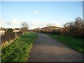


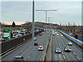
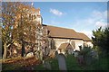
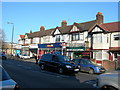
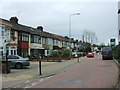
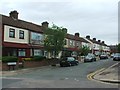
67 photos from this area
Area Information
Key information about the E6 5YX including its size, population, and administrative classification.
- Area Type
- Postcode
- Area Size
- 9976 m²
- Population
- Not available
- Population Density
- Not available
House Prices in E6 5YX
64
Properties
£143,114
Average Sold Price
£35,000
Lowest Price
£280,000
Highest Price
Showing 64 properties
| Address | Type | Beds | Baths | Last Sale Price | Last Sale Date | |
|---|---|---|---|---|---|---|
| 121 Harrier Way, Beckton, London, E6 5YX | Flat | 1 | 1 | £245,000 | May 2025 | |
| 161 Harrier Way, Beckton, London, E6 5YX | Flat | - | - | £260,000 | Mar 2025 | |
| 135 Harrier Way, Beckton, London, E6 5YX | Flat | - | - | £173,497 | Jun 2024 | |
| 149 Harrier Way, Beckton, London, E6 5YX | Flat | - | - | £235,000 | Mar 2024 | |
| 103 Harrier Way, Beckton, London, E6 5YX | Flat | - | - | £225,000 | Mar 2023 | |
| 101 Harrier Way, Beckton, London, E6 5YX | Flat | - | - | £249,950 | Sep 2022 | |
| 151 Harrier Way, Beckton, London, E6 5YX | Flat | 1 | 1 | £236,000 | Aug 2022 | |
| 97 Harrier Way, Beckton, London, E6 5YX | Flat | 1 | 1 | £215,000 | May 2022 | |
| 159 Harrier Way, Beckton, London, E6 5YX | Flat | - | - | £240,000 | Feb 2022 | |
| 173 Harrier Way, Beckton, London, E6 5YX | Flat | - | - | £190,000 | Jul 2021 |
Page 1 of 7
Energy Efficiency in E6 5YX
Amenities
Schools
| Rank | School | Type | Entry gender | Ages |
|---|
Explore more schools in this area
Go to Schools tabDemographics
Household Size
Family (3-5 people)
most common
Accommodation Type
Houses
most common
Tenure
33
majority
Ethnic Group
asian_total
most common
Religion
N/A
most common
Household Composition
N/A
most common
Age
47
median
Adults (30-64 years)
most common
Household Deprivation
N/A
with no deprivation
NS-SEC
26
in Lower managerial occupations
Explore more demographic insights in this area
Go to Demographics tabPlanning
Planning Constraints
- Flood RiskPremium
- Ramsar Wetland SitesPremium
- Area of Outstanding Natural BeautyPremium
- Protected Nature ReservePremium
- Protected WoodlandPremium