Area Overview for E6 5JL
Photos of E6 5JL
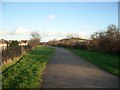


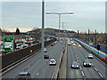
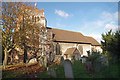
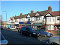
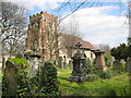
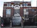
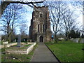
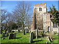
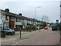
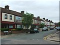
67 photos from this area
Area Information
Key information about the E6 5JL including its size, population, and administrative classification.
- Area Type
- Postcode
- Area Size
- 1.7 hectares
- Population
- 2022
- Population Density
- 12559 people/km²
House Prices in E6 5JL
41
Properties
£285,383
Average Sold Price
£53,000
Lowest Price
£510,000
Highest Price
Showing 41 properties
| Address | Type | Beds | Baths | Last Sale Price | Last Sale Date | |
|---|---|---|---|---|---|---|
| 1047 Newham Way, East Ham, London, E6 5JL | Semi-detached | 5 | 3 | £510,000 | Mar 2025 | |
| 1027 Newham Way, East Ham, London, E6 5JL | Terraced | 3 | 2 | £465,000 | Mar 2025 | |
| 1043 Newham Way, East Ham, London, E6 5JL | Terraced | 3 | 1 | £382,100 | May 2024 | |
| 1061 Newham Way, East Ham, London, E6 5JL | house | - | - | £390,000 | Feb 2024 | |
| 1033 Newham Way, East Ham, London, E6 5JL | house | - | - | £460,000 | Dec 2020 | |
| 1009 Newham Way, East Ham, London, E6 5JL | Terraced | 3 | 1 | £350,000 | Sep 2019 | |
| 1023 Newham Way, East Ham, London, E6 5JL | Terraced | 3 | 1 | £380,000 | Jul 2017 | |
| 1039 Newham Way, East Ham, London, E6 5JL | Terraced | 3 | 1 | £370,000 | Mar 2017 | |
| 1031 Newham Way, East Ham, London, E6 5JL | Terraced | 3 | 1 | £385,000 | Jan 2017 | |
| 1041 Newham Way, East Ham, London, E6 5JL | Terraced | 4 | 2 | £485,000 | Aug 2016 |
Page 1 of 5
Energy Efficiency in E6 5JL
Amenities
Schools
| Rank | School | Type | Entry gender | Ages |
|---|
Explore more schools in this area
Go to Schools tabDemographics
Household Size
Family (3-5 people)
most common
Accommodation Type
Houses
most common
Tenure
52
majority
Ethnic Group
asian_total
most common
Religion
N/A
most common
Household Composition
N/A
most common
Age
47
median
Adults (30-64 years)
most common
Household Deprivation
N/A
with no deprivation
NS-SEC
20
in Lower managerial occupations
Explore more demographic insights in this area
Go to Demographics tabPlanning
Planning Constraints
- Flood RiskPremium
- Ramsar Wetland SitesPremium
- Area of Outstanding Natural BeautyPremium
- Protected Nature ReservePremium
- Protected WoodlandPremium