Area Overview for E6 1BS
Photos of E6 1BS
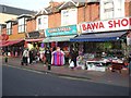
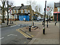
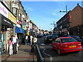
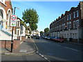
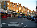
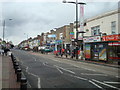
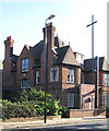
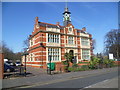
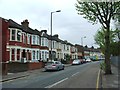
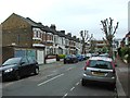
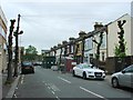
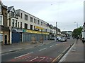
71 photos from this area
Area Information
Key information about the E6 1BS including its size, population, and administrative classification.
- Area Type
- Postcode
- Area Size
- 3254 m²
- Population
- 2089
- Population Density
- 23160 people/km²
House Prices in E6 1BS
21
Properties
£184,399
Average Sold Price
£59,000
Lowest Price
£235,000
Highest Price
Showing 21 properties
| Address | Type | Beds | Baths | Last Sale Price | Last Sale Date | |
|---|---|---|---|---|---|---|
| 5 Fry Road, East Ham, London, E6 1BS | Terraced | 3 | - | £225,000 | Jan 2013 | |
| 20 Fry Road, East Ham, London, E6 1BS | Terraced | 4 | 2 | £234,995 | Jul 2007 | |
| 4 Fry Road, East Ham, London, E6 1BS | Terraced | - | - | £235,000 | Nov 2006 | |
| 3 Fry Road, East Ham, London, E6 1BS | house | - | - | £234,995 | Nov 2006 | |
| 16 Fry Road, East Ham, London, E6 1BS | Terraced | - | - | £225,000 | Mar 2006 | |
| 12 Fry Road, East Ham, London, E6 1BS | house | 4 | 1 | £220,000 | May 2005 | |
| 1A Fry Road, East Ham, London, E6 1BS | Terraced | 5 | 3 | £210,000 | Apr 2004 | |
| 8 Fry Road, East Ham, London, E6 1BS | house | - | - | £135,000 | Apr 2002 | |
| 18 Fry Road, East Ham, London, E6 1BS | Terraced | - | - | £65,000 | Dec 1999 | |
| 2 Fry Road, East Ham, London, E6 1BS | Terraced | 5 | 1 | £59,000 | Feb 1996 |
Page 1 of 3
Energy Efficiency in E6 1BS
Amenities
Schools
| Rank | School | Type | Entry gender | Ages |
|---|
Explore more schools in this area
Go to Schools tabDemographics
Household Size
Family (3-5 people)
most common
Accommodation Type
Houses
most common
Tenure
36
majority
Ethnic Group
asian_total
most common
Religion
N/A
most common
Household Composition
N/A
most common
Age
47
median
Adults (30-64 years)
most common
Household Deprivation
N/A
with no deprivation
NS-SEC
16
in Lower managerial occupations
Explore more demographic insights in this area
Go to Demographics tabPlanning
Planning Constraints
- Flood RiskPremium
- Ramsar Wetland SitesPremium
- Area of Outstanding Natural BeautyPremium
- Protected Nature ReservePremium
- Protected WoodlandPremium