Area Overview for E5 9PQ
Photos of E5 9PQ
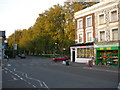
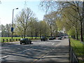
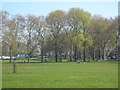
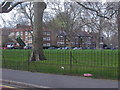
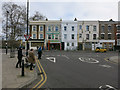
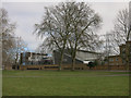
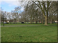
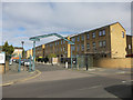
100 photos from this area
Area Information
Key information about the E5 9PQ including its size, population, and administrative classification.
- Area Type
- Postcode
- Area Size
- 5162 m²
- Population
- 1434
- Population Density
- 8951 people/km²
House Prices in E5 9PQ
32
Properties
£252,156
Average Sold Price
£71,400
Lowest Price
£590,000
Highest Price
Showing 32 properties
| Address | Type | Beds | Baths | Last Sale Price | Last Sale Date | |
|---|---|---|---|---|---|---|
| 16 Oulton Close, Hackney, London, E5 9PQ | Flat | 3 | 1 | £590,000 | Jul 2025 | |
| 15 Oulton Close, Hackney, London, E5 9PQ | Flat | 2 | 2 | £530,000 | Oct 2023 | |
| 23 Oulton Close, Hackney, London, E5 9PQ | Semi-detached | 3 | 2 | £343,000 | Jan 2014 | |
| 19 Oulton Close, Hackney, London, E5 9PQ | Flat | - | - | £159,000 | Aug 2006 | |
| 27 Oulton Close, Hackney, London, E5 9PQ | house | - | - | £220,000 | Nov 2003 | |
| 7 Oulton Close, Hackney, London, E5 9PQ | house | 3 | 1 | £188,000 | Nov 2003 | |
| 24 Oulton Close, Hackney, London, E5 9PQ | house | - | - | £85,000 | May 1999 | |
| 9 Oulton Close, Hackney, London, E5 9PQ | house | - | - | £71,400 | Nov 1998 | |
| 25 Oulton Close, Hackney, London, E5 9PQ | house | - | - | £83,000 | Oct 1998 | |
| Flat 1, 11 Oulton Close, Hackney, London, E5 9PQ | Flat | 3 | - | - | - |
Page 1 of 4
Energy Efficiency in E5 9PQ
Amenities
Schools
| Rank | School | Type | Entry gender | Ages |
|---|
Explore more schools in this area
Go to Schools tabDemographics
Household Size
Family (3-5 people)
most common
Accommodation Type
Flats
most common
Tenure
24
majority
Ethnic Group
White
most common
Religion
N/A
most common
Household Composition
N/A
most common
Age
47
median
Adults (30-64 years)
most common
Household Deprivation
N/A
with no deprivation
NS-SEC
38
in Lower managerial occupations
Explore more demographic insights in this area
Go to Demographics tabPlanning
Planning Constraints
- Flood RiskPremium
- Ramsar Wetland SitesPremium
- Area of Outstanding Natural BeautyPremium
- Protected Nature ReservePremium
- Protected WoodlandPremium