Area Overview for E4 9ET
Photos of E4 9ET
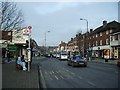
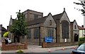

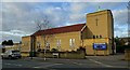

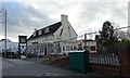
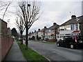
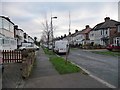
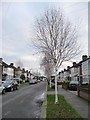
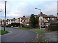
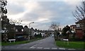
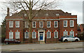
50 photos from this area
Area Information
Key information about the E4 9ET including its size, population, and administrative classification.
- Area Type
- Postcode
- Area Size
- 9782 m²
- Population
- 1814
- Population Density
- 6247 people/km²
House Prices in E4 9ET
29
Properties
£346,922
Average Sold Price
£68,500
Lowest Price
£580,000
Highest Price
Showing 29 properties
| Address | Type | Beds | Baths | Last Sale Price | Last Sale Date | |
|---|---|---|---|---|---|---|
| 100 Brook Crescent, Chingford, E4 9ET | Terraced | 3 | 1 | £520,000 | Dec 2023 | |
| 102 Brook Crescent, Chingford, E4 9ET | house | - | - | £580,000 | Mar 2023 | |
| 90 Brook Crescent, Chingford, E4 9ET | house | - | - | £500,000 | Jan 2022 | |
| 96 Brook Crescent, Chingford, E4 9ET | house | - | - | £472,000 | May 2021 | |
| 64 Brook Crescent, Chingford, E4 9ET | Terraced | 4 | 2 | £460,000 | Oct 2017 | |
| 54 Brook Crescent, Chingford, E4 9ET | Terraced | 3 | 1 | £390,000 | Dec 2016 | |
| 66 Brook Crescent, Chingford, E4 9ET | Terraced | 3 | 1 | £435,000 | May 2016 | |
| 60 Brook Crescent, Chingford, E4 9ET | Terraced | 3 | 1 | £415,000 | Mar 2016 | |
| 74 Brook Crescent, Chingford, E4 9ET | house | - | - | £362,000 | Apr 2015 | |
| 104 Brook Crescent, Chingford, E4 9ET | house | - | - | £376,000 | Sep 2014 |
Page 1 of 3
Energy Efficiency in E4 9ET
Amenities
Schools
| Rank | School | Type | Entry gender | Ages |
|---|
Explore more schools in this area
Go to Schools tabDemographics
Household Size
Family (3-5 people)
most common
Accommodation Type
Houses
most common
Tenure
70
majority
Ethnic Group
White
most common
Religion
N/A
most common
Household Composition
N/A
most common
Age
47
median
Adults (30-64 years)
most common
Household Deprivation
N/A
with no deprivation
NS-SEC
28
in Lower managerial occupations
Explore more demographic insights in this area
Go to Demographics tabPlanning
Planning Constraints
- Flood RiskPremium
- Ramsar Wetland SitesPremium
- Area of Outstanding Natural BeautyPremium
- Protected Nature ReservePremium
- Protected WoodlandPremium