Area Overview for E4 8SA
Photos of E4 8SA
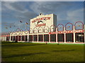
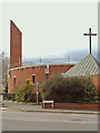
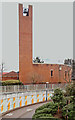
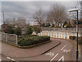
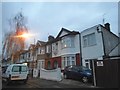
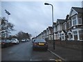
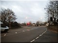
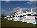
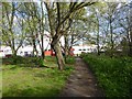
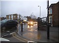
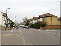
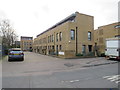
30 photos from this area
Area Information
Key information about the E4 8SA including its size, population, and administrative classification.
- Area Type
- Postcode
- Area Size
- 6.3 hectares
- Population
- 1794
- Population Density
- 3750 people/km²
House Prices in E4 8SA
60
Properties
£312,959
Average Sold Price
£50,000
Lowest Price
£600,000
Highest Price
Showing 60 properties
| Address | Type | Beds | Baths | Last Sale Price | Last Sale Date | |
|---|---|---|---|---|---|---|
| 47, Salisbury Hall Gardens, Chingford Road, Chingford, E4 8SA | house | 3 | 1 | £575,000 | Sep 2025 | |
| 42, Salisbury Hall Gardens, Chingford Road, Chingford, E4 8SA | Terraced | 3 | 1 | £560,000 | Sep 2025 | |
| 19, Salisbury Hall Gardens, Chingford Road, Chingford, E4 8SA | house | 3 | 1 | £585,000 | Sep 2025 | |
| 21, Salisbury Hall Gardens, Chingford Road, Chingford, E4 8SA | Terraced | 3 | 1 | £475,000 | Aug 2024 | |
| 26, Salisbury Hall Gardens, Chingford Road, Chingford, E4 8SA | Terraced | 3 | 2 | £600,000 | Jan 2024 | |
| 15, Salisbury Hall Gardens, Chingford Road, Chingford, E4 8SA | Terraced | 3 | 1 | £282,000 | Jan 2023 | |
| 61, Salisbury Hall Gardens, Chingford Road, Chingford, E4 8SA | Terraced | 3 | 1 | £534,000 | Sep 2021 | |
| 22, Salisbury Hall Gardens, Chingford Road, Chingford, E4 8SA | house | - | - | £240,000 | Aug 2021 | |
| 14, Salisbury Hall Gardens, Chingford Road, Chingford, E4 8SA | house | - | - | £520,000 | Jun 2021 | |
| 59, Salisbury Hall Gardens, Chingford Road, Chingford, E4 8SA | house | - | - | £510,000 | Aug 2020 |
Page 1 of 6
Energy Efficiency in E4 8SA
Amenities
Schools
| Rank | School | Type | Entry gender | Ages |
|---|
Explore more schools in this area
Go to Schools tabDemographics
Household Size
Family (3-5 people)
most common
Accommodation Type
Houses
most common
Tenure
55
majority
Ethnic Group
White
most common
Religion
N/A
most common
Household Composition
N/A
most common
Age
47
median
Adults (30-64 years)
most common
Household Deprivation
N/A
with no deprivation
NS-SEC
24
in Lower managerial occupations
Explore more demographic insights in this area
Go to Demographics tabPlanning
Planning Constraints
- Flood RiskPremium
- Ramsar Wetland SitesPremium
- Area of Outstanding Natural BeautyPremium
- Protected Nature ReservePremium
- Protected WoodlandPremium