Area Overview for E3 5AS
Photos of E3 5AS
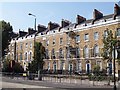
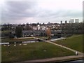
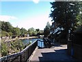
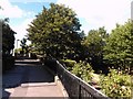
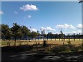

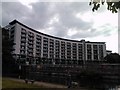
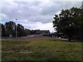
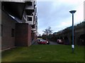
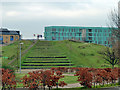
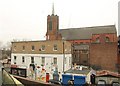
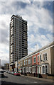
100 photos from this area
Area Information
Key information about the E3 5AS including its size, population, and administrative classification.
- Area Type
- Postcode
- Area Size
- 4907 m²
- Population
- 1791
- Population Density
- 9250 people/km²
House Prices in E3 5AS
33
Properties
£648,225
Average Sold Price
£140,000
Lowest Price
£1,200,000
Highest Price
Showing 33 properties
| Address | Type | Beds | Baths | Last Sale Price | Last Sale Date | |
|---|---|---|---|---|---|---|
| 19 Alloway Road, London, E3 5AS | Flat | - | - | £585,000 | Dec 2024 | |
| 24 Alloway Road, London, E3 5AS | Terraced | 3 | 1 | £1,085,000 | Oct 2023 | |
| 18 Alloway Road, London, E3 5AS | Terraced | 3 | 1 | £975,000 | Sep 2023 | |
| 11 Alloway Road, London, E3 5AS | Terraced | 3 | 2 | £1,200,000 | Feb 2023 | |
| 1B Alloway Road, London, E3 5AS | Semi-detached | 2 | 1 | £585,000 | Nov 2020 | |
| 17 Alloway Road, London, E3 5AS | Terraced | 3 | 1 | £1,030,000 | Jul 2019 | |
| 1 Alloway Road, London, E3 5AS | Terraced | 3 | 1 | £995,000 | Mar 2016 | |
| 23 Alloway Road, London, E3 5AS | house | 3 | - | £730,000 | Jul 2013 | |
| 16 Alloway Road, London, E3 5AS | Terraced | 3 | 2 | £650,000 | Oct 2011 | |
| 13 Alloway Road, London, E3 5AS | Terraced | 5 | 2 | £465,000 | Jul 2011 |
Page 1 of 4
Energy Efficiency in E3 5AS
Amenities
Schools
| Rank | School | Type | Entry gender | Ages |
|---|
Explore more schools in this area
Go to Schools tabDemographics
Household Size
Family (3-5 people)
most common
Accommodation Type
Houses
most common
Tenure
47
majority
Ethnic Group
White
most common
Religion
N/A
most common
Household Composition
N/A
most common
Age
47
median
Adults (30-64 years)
most common
Household Deprivation
N/A
with no deprivation
NS-SEC
56
in Lower managerial occupations
Explore more demographic insights in this area
Go to Demographics tabPlanning
Planning Constraints
- Flood RiskPremium
- Ramsar Wetland SitesPremium
- Area of Outstanding Natural BeautyPremium
- Protected Nature ReservePremium
- Protected WoodlandPremium