Area Overview for E3 4JH
Photos of E3 4JH
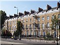
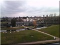
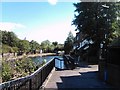


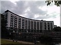
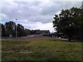
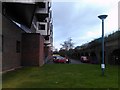

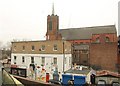
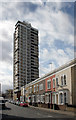
100 photos from this area
Area Information
Key information about the E3 4JH including its size, population, and administrative classification.
- Area Type
- Postcode
- Area Size
- 3466 m²
- Population
- 2420
- Population Density
- 8248 people/km²
House Prices in E3 4JH
61
Properties
£223,750
Average Sold Price
£90,000
Lowest Price
£449,000
Highest Price
Showing 61 properties
| Address | Type | Beds | Baths | Last Sale Price | Last Sale Date | |
|---|---|---|---|---|---|---|
| 8 Portia Way, London, E3 4JH | Maisonette | 3 | 1 | £449,000 | Apr 2025 | |
| 22 Portia Way, London, E3 4JH | Maisonette | - | - | £432,500 | Jul 2021 | |
| 58 Portia Way, London, E3 4JH | Maisonette | - | - | £415,000 | Aug 2018 | |
| 72 Portia Way, London, E3 4JH | Maisonette | 3 | 1 | £240,000 | Jan 2013 | |
| 60 Portia Way, London, E3 4JH | Flat | - | - | £200,000 | Oct 2006 | |
| 14 Portia Way, London, E3 4JH | Maisonette | 4 | 1 | £160,000 | Jul 2006 | |
| 74 Portia Way, London, E3 4JH | Maisonette | 1 | 1 | £203,000 | Jun 2006 | |
| 12 Portia Way, London, E3 4JH | Maisonette | 1 | 1 | £169,995 | Jul 2004 | |
| 44 Portia Way, London, E3 4JH | Maisonette | 3 | 1 | £180,000 | Jun 2004 | |
| 32 Portia Way, London, E3 4JH | Maisonette | - | - | £183,000 | May 2004 |
Page 1 of 7
Energy Efficiency in E3 4JH
Amenities
Schools
| Rank | School | Type | Entry gender | Ages |
|---|
Explore more schools in this area
Go to Schools tabDemographics
Household Size
Family (3-5 people)
most common
Accommodation Type
Flats
most common
Tenure
30
majority
Ethnic Group
White
most common
Religion
N/A
most common
Household Composition
N/A
most common
Age
22
median
Adults (30-64 years)
most common
Household Deprivation
N/A
with no deprivation
NS-SEC
40
in Lower managerial occupations
Explore more demographic insights in this area
Go to Demographics tabPlanning
Planning Constraints
- Flood RiskPremium
- Ramsar Wetland SitesPremium
- Area of Outstanding Natural BeautyPremium
- Protected Nature ReservePremium
- Protected WoodlandPremium