Area Overview for E3 2LY
Photos of E3 2LY
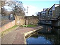
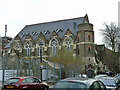
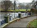
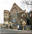
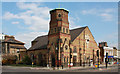
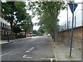
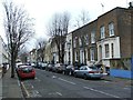
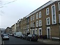
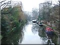
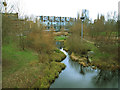
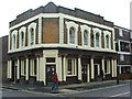
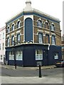
100 photos from this area
Area Information
Key information about the E3 2LY including its size, population, and administrative classification.
- Area Type
- Postcode
- Area Size
- 6664 m²
- Population
- 2215
- Population Density
- 3741 people/km²
House Prices in E3 2LY
35
Properties
£360,406
Average Sold Price
£109,995
Lowest Price
£685,000
Highest Price
Showing 35 properties
| Address | Type | Beds | Baths | Last Sale Price | Last Sale Date | |
|---|---|---|---|---|---|---|
| 526 Old Ford Road, London, E3 2LY | Terraced | 3 | 2 | £610,000 | Jun 2022 | |
| 536 Old Ford Road, London, E3 2LY | house | - | - | £575,000 | Aug 2021 | |
| 542 Old Ford Road, London, E3 2LY | house | 3 | - | £650,000 | Dec 2020 | |
| 540 Old Ford Road, London, E3 2LY | Detached | 3 | 1 | £685,000 | Oct 2017 | |
| 574 Old Ford Road, London, E3 2LY | Terraced | 5 | 2 | £375,000 | May 2013 | |
| 576 Old Ford Road, London, E3 2LY | house | 6 | - | £375,000 | May 2013 | |
| 556 Old Ford Road, London, E3 2LY | Terraced | 3 | 1 | £312,500 | Oct 2012 | |
| 530 Old Ford Road, London, E3 2LY | Terraced | 4 | 2 | £325,000 | May 2012 | |
| 528 Old Ford Road, London, E3 2LY | Terraced | 3 | 2 | £325,000 | Oct 2011 | |
| 548 Old Ford Road, London, E3 2LY | Detached | 3 | 2 | £350,000 | Jun 2007 |
Page 1 of 4
Energy Efficiency in E3 2LY
Amenities
Schools
| Rank | School | Type | Entry gender | Ages |
|---|
Explore more schools in this area
Go to Schools tabDemographics
Household Size
One person
most common
Accommodation Type
Flats
most common
Tenure
21
majority
Ethnic Group
White
most common
Religion
N/A
most common
Household Composition
N/A
most common
Age
47
median
Adults (30-64 years)
most common
Household Deprivation
N/A
with no deprivation
NS-SEC
32
in Lower managerial occupations
Explore more demographic insights in this area
Go to Demographics tabPlanning
Planning Constraints
- Flood RiskPremium
- Ramsar Wetland SitesPremium
- Area of Outstanding Natural BeautyPremium
- Protected Nature ReservePremium
- Protected WoodlandPremium