Area Overview for E2 7DS
Photos of E2 7DS
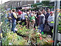
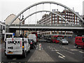
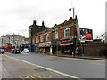
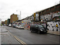
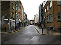
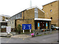
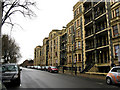
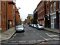
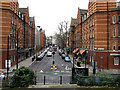
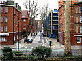
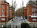
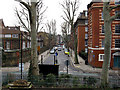
100 photos from this area
Area Information
Key information about the E2 7DS including its size, population, and administrative classification.
- Area Type
- Postcode
- Area Size
- 9218 m²
- Population
- 1580
- Population Density
- 16527 people/km²
House Prices in E2 7DS
62
Properties
£503,688
Average Sold Price
£94,000
Lowest Price
£3,635,000
Highest Price
Showing 62 properties
| Address | Type | Beds | Baths | Last Sale Price | Last Sale Date | |
|---|---|---|---|---|---|---|
| 128 Swanfield Street, London, E2 7DS | Flat | - | - | £420,000 | Oct 2020 | |
| 14 Swanfield Street, London, E2 7DS | house | 4 | 2 | £3,635,000 | Mar 2016 | |
| 120 Swanfield Street, London, E2 7DS | Flat | 1 | - | £410,000 | Sep 2015 | |
| 98 Swanfield Street, London, E2 7DS | Flat | - | - | £340,000 | Apr 2014 | |
| 72 Swanfield Street, London, E2 7DS | Terraced | - | - | £455,000 | Aug 2010 | |
| 84 Swanfield Street, London, E2 7DS | Flat | - | - | £195,000 | Mar 2010 | |
| 66 Swanfield Street, London, E2 7DS | house | 5 | 2 | £500,000 | Jul 2008 | |
| 96 Swanfield Street, London, E2 7DS | Flat | - | - | £197,500 | May 2007 | |
| 108 Swanfield Street, London, E2 7DS | Flat | - | - | £229,000 | Feb 2007 | |
| 58 Swanfield Street, London, E2 7DS | Terraced | 4 | 2 | £295,000 | Apr 2004 |
Page 1 of 7
Energy Efficiency in E2 7DS
Amenities
Schools
| Rank | School | Type | Entry gender | Ages |
|---|
Explore more schools in this area
Go to Schools tabDemographics
Household Size
One person
most common
Accommodation Type
Flats
most common
Tenure
22
majority
Ethnic Group
White
most common
Religion
N/A
most common
Household Composition
N/A
most common
Age
47
median
Adults (30-64 years)
most common
Household Deprivation
N/A
with no deprivation
NS-SEC
38
in Lower managerial occupations
Explore more demographic insights in this area
Go to Demographics tabPlanning
Planning Constraints
- Flood RiskPremium
- Ramsar Wetland SitesPremium
- Area of Outstanding Natural BeautyPremium
- Protected Nature ReservePremium
- Protected WoodlandPremium