Area Overview for E18 2AP
Photos of E18 2AP
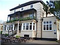

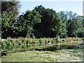
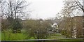
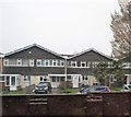
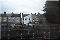
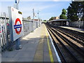
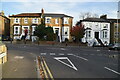

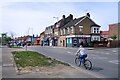
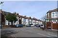
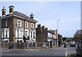
37 photos from this area
Area Information
Key information about the E18 2AP including its size, population, and administrative classification.
- Area Type
- Postcode
- Area Size
- 1.6 hectares
- Population
- 1719
- Population Density
- 7805 people/km²
House Prices in E18 2AP
76
Properties
£399,848
Average Sold Price
£36,400
Lowest Price
£900,000
Highest Price
Showing 76 properties
| Address | Type | Beds | Baths | Last Sale Price | Last Sale Date | |
|---|---|---|---|---|---|---|
| 39 Tavistock Road, South Woodford, London, E18 2AP | Flat | 2 | 1 | £500,000 | Jul 2025 | |
| 17 Tavistock Road, South Woodford, London, E18 2AP | Terraced | 3 | 2 | £658,000 | Jul 2025 | |
| 14 Tavistock Road, South Woodford, London, E18 2AP | Flat | 2 | 1 | £420,000 | Feb 2017 | |
| 48 Tavistock Road, South Woodford, London, E18 2AP | house | 4 | - | £605,000 | Jul 2014 | |
| 17A Tavistock Road, South Woodford, London, E18 2AP | Terraced | 3 | 1 | £355,000 | Sep 2013 | |
| 19 Tavistock Road, South Woodford, London, E18 2AP | Bungalow | - | - | £440,000 | May 2013 | |
| 18 Tavistock Road, South Woodford, London, E18 2AP | Flat | 3 | - | £285,000 | May 2013 | |
| 2 Tavistock Road, South Woodford, London, E18 2AP | house | - | - | £900,000 | Jul 2011 | |
| 10 Tavistock Road, South Woodford, London, E18 2AP | house | - | - | £820,000 | Jun 2011 | |
| 6 Tavistock Road, South Woodford, London, E18 2AP | house | - | - | £815,000 | Dec 2010 |
Page 1 of 8
Energy Efficiency in E18 2AP
Amenities
Schools
| Rank | School | Type | Entry gender | Ages |
|---|
Explore more schools in this area
Go to Schools tabDemographics
Household Size
One person
most common
Accommodation Type
Flats
most common
Tenure
53
majority
Ethnic Group
White
most common
Religion
N/A
most common
Household Composition
N/A
most common
Age
47
median
Adults (30-64 years)
most common
Household Deprivation
N/A
with no deprivation
NS-SEC
50
in Lower managerial occupations
Explore more demographic insights in this area
Go to Demographics tabPlanning
Planning Constraints
- Flood RiskPremium
- Ramsar Wetland SitesPremium
- Area of Outstanding Natural BeautyPremium
- Protected Nature ReservePremium
- Protected WoodlandPremium