Area Overview for E17 9RF
Photos of E17 9RF
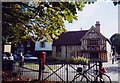
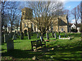
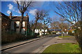
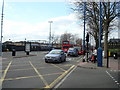
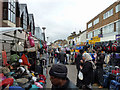
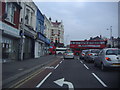
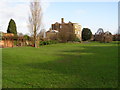
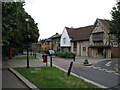
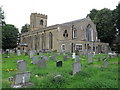
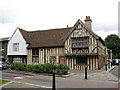

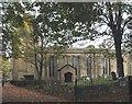
100 photos from this area
Area Information
Key information about the E17 9RF including its size, population, and administrative classification.
- Area Type
- Postcode
- Area Size
- 8811 m²
- Population
- Not available
- Population Density
- Not available
House Prices in E17 9RF
31
Properties
£560,183
Average Sold Price
£63,500
Lowest Price
£900,000
Highest Price
Showing 31 properties
| Address | Type | Beds | Baths | Last Sale Price | Last Sale Date | |
|---|---|---|---|---|---|---|
| 79 St Mary Road, Walthamstow, E17 9RF | Terraced | 3 | 1 | £800,000 | Mar 2025 | |
| 55 St Mary Road, Walthamstow, E17 9RF | Terraced | 3 | 1 | £873,150 | Jan 2024 | |
| 41 St Mary Road, Walthamstow, E17 9RF | Retail | 3 | 2 | £900,000 | Jun 2022 | |
| 57 St Mary Road, Walthamstow, E17 9RF | house | - | - | £595,000 | Mar 2021 | |
| 37 St Mary Road, Walthamstow, E17 9RF | Terraced | 3 | 1 | £650,000 | Sep 2016 | |
| 31 St Mary Road, Walthamstow, E17 9RF | house | - | - | £727,000 | Mar 2016 | |
| 35 St Mary Road, Walthamstow, E17 9RF | Terraced | 2 | 1 | £340,000 | Jun 2013 | |
| 73 St Mary Road, Walthamstow, E17 9RF | Terraced | - | - | £93,000 | Jun 1999 | |
| 29 St Mary Road, Walthamstow, E17 9RF | house | 3 | - | £63,500 | Aug 1997 | |
| 21 St Mary Road, Walthamstow, E17 9RF | Terraced | 1 | 1 | - | - |
Page 1 of 4
Energy Efficiency in E17 9RF
Amenities
Schools
| Rank | School | Type | Entry gender | Ages |
|---|
Explore more schools in this area
Go to Schools tabDemographics
Household Size
Family (3-5 people)
most common
Accommodation Type
Flats
most common
Tenure
37
majority
Ethnic Group
White
most common
Religion
N/A
most common
Household Composition
N/A
most common
Age
47
median
Adults (30-64 years)
most common
Household Deprivation
N/A
with no deprivation
NS-SEC
41
in Lower managerial occupations
Explore more demographic insights in this area
Go to Demographics tabPlanning
Planning Constraints
- Flood RiskPremium
- Ramsar Wetland SitesPremium
- Area of Outstanding Natural BeautyPremium
- Protected Nature ReservePremium
- Protected WoodlandPremium