Area Overview for E17 8QR
Photos of E17 8QR
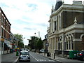
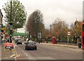
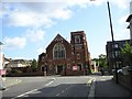
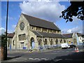
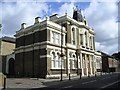
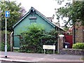
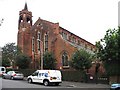
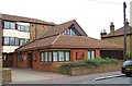
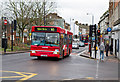
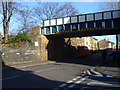
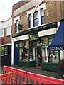
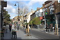
99 photos from this area
Area Information
Key information about the E17 8QR including its size, population, and administrative classification.
- Area Type
- Postcode
- Area Size
- 1.2 hectares
- Population
- 2088
- Population Density
- 12269 people/km²
House Prices in E17 8QR
53
Properties
£193,250
Average Sold Price
£25,500
Lowest Price
£350,000
Highest Price
Showing 53 properties
| Address | Type | Beds | Baths | Last Sale Price | Last Sale Date | |
|---|---|---|---|---|---|---|
| 87 Queens Road, Walthamstow, E17 8QR | Flat | 2 | 1 | £350,000 | Oct 2015 | |
| 89 Queens Road, Walthamstow, E17 8QR | Flat | - | - | £350,000 | Oct 2015 | |
| 63A Queens Road, Walthamstow, E17 8QR | Flat | - | - | £120,000 | Jan 2014 | |
| 75 Queens Road, Walthamstow, E17 8QR | Terraced | 5 | 3 | £190,000 | Jul 2001 | |
| 91 Queens Road, Walthamstow, E17 8QR | Terraced | - | - | £124,000 | Mar 2001 | |
| 61 Queens Road, Walthamstow, E17 8QR | Flat | - | - | £25,500 | Jun 1996 | |
| Ground Floor Flat 1, 95 Queens Road, Walthamstow, E17 8QR | Flat | - | 1 | - | - | |
| First Floor Flat A, 59 Queens Road, Walthamstow, E17 8QR | Terraced | 4 | - | - | - | |
| 67A QUEENS ROAD, Walthamstow, E17 8QR | Flat | - | 1 | - | - | |
| 69 QUEENS ROAD, Walthamstow, E17 8QR | Flat | 1 | 1 | - | - |
Page 1 of 6
Energy Efficiency in E17 8QR
Amenities
Schools
| Rank | School | Type | Entry gender | Ages |
|---|
Explore more schools in this area
Go to Schools tabDemographics
Household Size
Family (3-5 people)
most common
Accommodation Type
Houses
most common
Tenure
53
majority
Ethnic Group
White
most common
Religion
N/A
most common
Household Composition
N/A
most common
Age
47
median
Adults (30-64 years)
most common
Household Deprivation
N/A
with no deprivation
NS-SEC
34
in Lower managerial occupations
Explore more demographic insights in this area
Go to Demographics tabPlanning
Planning Constraints
- Flood RiskPremium
- Ramsar Wetland SitesPremium
- Area of Outstanding Natural BeautyPremium
- Protected Nature ReservePremium
- Protected WoodlandPremium