Area Overview for E17 7AN
Photos of E17 7AN
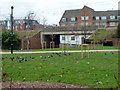
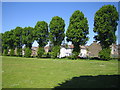
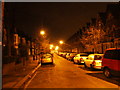
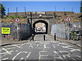
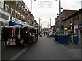


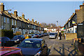


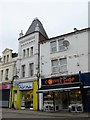
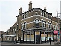
100 photos from this area
Area Information
Key information about the E17 7AN including its size, population, and administrative classification.
- Area Type
- Postcode
- Area Size
- 3934 m²
- Population
- 2326
- Population Density
- 3137 people/km²
House Prices in E17 7AN
33
Properties
£511,278
Average Sold Price
£84,000
Lowest Price
£925,000
Highest Price
Showing 33 properties
| Address | Type | Beds | Baths | Last Sale Price | Last Sale Date | |
|---|---|---|---|---|---|---|
| 19 Haroldstone Road, Walthamstow, E17 7AN | Detached | 3 | 1 | £925,000 | Mar 2025 | |
| 25 Haroldstone Road, Walthamstow, E17 7AN | house | - | - | £300,000 | Aug 2023 | |
| 27 Haroldstone Road, Walthamstow, E17 7AN | house | 4 | 1 | £925,000 | Jan 2023 | |
| 33 Haroldstone Road, Walthamstow, E17 7AN | Terraced | 4 | 2 | £640,000 | Aug 2019 | |
| 37 Haroldstone Road, Walthamstow, E17 7AN | Terraced | 1 | 1 | £700,000 | Apr 2018 | |
| 13 Haroldstone Road, Walthamstow, E17 7AN | Terraced | 3 | 2 | £552,500 | Jul 2015 | |
| 21 Haroldstone Road, Walthamstow, E17 7AN | house | 3 | - | £250,000 | Aug 2011 | |
| 35 Haroldstone Road, Walthamstow, E17 7AN | Terraced | - | - | £225,000 | Oct 2003 | |
| 3 Haroldstone Road, Walthamstow, E17 7AN | Terraced | - | - | £84,000 | Dec 1998 | |
| First Floor Flat, 11 Haroldstone Road, Walthamstow, E17 7AN | Flat | 2 | 1 | - | - |
Page 1 of 4
Energy Efficiency in E17 7AN
Amenities
Schools
| Rank | School | Type | Entry gender | Ages |
|---|
Explore more schools in this area
Go to Schools tabDemographics
Household Size
Two person
most common
Accommodation Type
Flats
most common
Tenure
44
majority
Ethnic Group
White
most common
Religion
N/A
most common
Household Composition
N/A
most common
Age
47
median
Adults (30-64 years)
most common
Household Deprivation
N/A
with no deprivation
NS-SEC
44
in Lower managerial occupations
Explore more demographic insights in this area
Go to Demographics tabPlanning
Planning Constraints
- Flood RiskPremium
- Ramsar Wetland SitesPremium
- Area of Outstanding Natural BeautyPremium
- Protected Nature ReservePremium
- Protected WoodlandPremium