Area Overview for E17 6ND
Photos of E17 6ND
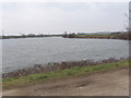
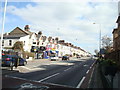
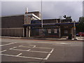
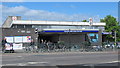
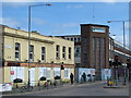
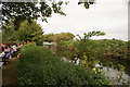
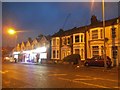

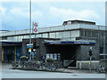
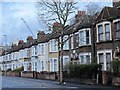
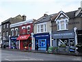
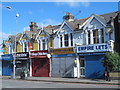
95 photos from this area
Area Information
Key information about the E17 6ND including its size, population, and administrative classification.
- Area Type
- Postcode
- Area Size
- 1.8 hectares
- Population
- 2326
- Population Density
- 3137 people/km²
House Prices in E17 6ND
32
Properties
£289,750
Average Sold Price
£49,000
Lowest Price
£495,000
Highest Price
Showing 32 properties
| Address | Type | Beds | Baths | Last Sale Price | Last Sale Date | |
|---|---|---|---|---|---|---|
| 187 Blackhorse Road, Walthamstow, E17 6ND | Flat | 2 | 1 | £465,000 | May 2025 | |
| 189 Blackhorse Road, Walthamstow, E17 6ND | Flat | - | - | £415,000 | Apr 2025 | |
| 167 Blackhorse Road, Walthamstow, E17 6ND | Flat | 2 | 1 | £488,250 | Jul 2024 | |
| 157 Blackhorse Road, Walthamstow, E17 6ND | Flat | - | - | £495,000 | Jul 2024 | |
| 177 Blackhorse Road, Walthamstow, E17 6ND | Flat | 2 | 1 | £350,000 | Jan 2024 | |
| 195 Blackhorse Road, Walthamstow, E17 6ND | Flat | 2 | 1 | £465,000 | Aug 2023 | |
| 169 Blackhorse Road, Walthamstow, E17 6ND | Retail | 2 | - | £465,500 | Jan 2023 | |
| 161 Blackhorse Road, Walthamstow, E17 6ND | Flat | - | - | £437,000 | Sep 2020 | |
| 163 Blackhorse Road, Walthamstow, E17 6ND | Flat | 2 | 1 | £345,000 | Sep 2015 | |
| 207 Blackhorse Road, Walthamstow, E17 6ND | Flat | - | - | £206,000 | Apr 2008 |
Page 1 of 4
Energy Efficiency in E17 6ND
Amenities
Schools
| Rank | School | Type | Entry gender | Ages |
|---|
Explore more schools in this area
Go to Schools tabDemographics
Household Size
Two person
most common
Accommodation Type
Flats
most common
Tenure
44
majority
Ethnic Group
White
most common
Religion
N/A
most common
Household Composition
N/A
most common
Age
47
median
Adults (30-64 years)
most common
Household Deprivation
N/A
with no deprivation
NS-SEC
44
in Lower managerial occupations
Explore more demographic insights in this area
Go to Demographics tabPlanning
Planning Constraints
- Flood RiskPremium
- Ramsar Wetland SitesPremium
- Area of Outstanding Natural BeautyPremium
- Protected Nature ReservePremium
- Protected WoodlandPremium