Area Overview for E17 6EY
Photos of E17 6EY
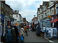

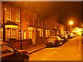
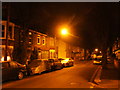
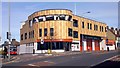
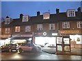
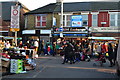
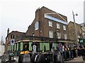
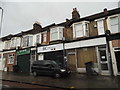

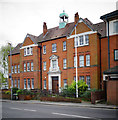
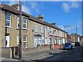
100 photos from this area
Area Information
Key information about the E17 6EY including its size, population, and administrative classification.
- Area Type
- Postcode
- Area Size
- 8440 m²
- Population
- 2038
- Population Density
- 15701 people/km²
House Prices in E17 6EY
60
Properties
£360,226
Average Sold Price
£48,000
Lowest Price
£845,000
Highest Price
Showing 60 properties
| Address | Type | Beds | Baths | Last Sale Price | Last Sale Date | |
|---|---|---|---|---|---|---|
| 48 Bunyan Road, Walthamstow, E17 6EY | Terraced | 2 | 2 | £590,000 | Jun 2025 | |
| 51 Bunyan Road, Walthamstow, E17 6EY | Terraced | 3 | 2 | £835,000 | Nov 2024 | |
| 29 Bunyan Road, Walthamstow, E17 6EY | house | 3 | 1 | £575,000 | Aug 2024 | |
| 45 Bunyan Road, Walthamstow, E17 6EY | Terraced | 2 | 2 | £615,000 | Mar 2024 | |
| 38 Bunyan Road, Walthamstow, E17 6EY | Terraced | 2 | 1 | £715,000 | Mar 2024 | |
| 14 Bunyan Road, Walthamstow, E17 6EY | Terraced | 3 | 1 | £740,000 | Dec 2023 | |
| 36 Bunyan Road, Walthamstow, E17 6EY | Terraced | 2 | 2 | £845,000 | Sep 2023 | |
| 49 Bunyan Road, Walthamstow, E17 6EY | Terraced | 3 | 2 | £825,000 | Aug 2023 | |
| 27 Bunyan Road, Walthamstow, E17 6EY | Terraced | 2 | 1 | £662,000 | Apr 2023 | |
| 3 Bunyan Road, Walthamstow, E17 6EY | Terraced | 3 | 1 | £580,000 | Jan 2022 |
Page 1 of 6
Energy Efficiency in E17 6EY
Amenities
Schools
| Rank | School | Type | Entry gender | Ages |
|---|
Explore more schools in this area
Go to Schools tabDemographics
Household Size
Family (3-5 people)
most common
Accommodation Type
Houses
most common
Tenure
53
majority
Ethnic Group
White
most common
Religion
N/A
most common
Household Composition
N/A
most common
Age
47
median
Adults (30-64 years)
most common
Household Deprivation
N/A
with no deprivation
NS-SEC
34
in Lower managerial occupations
Explore more demographic insights in this area
Go to Demographics tabPlanning
Planning Constraints
- Flood RiskPremium
- Ramsar Wetland SitesPremium
- Area of Outstanding Natural BeautyPremium
- Protected Nature ReservePremium
- Protected WoodlandPremium