Area Overview for E17 4DZ
Photos of E17 4DZ
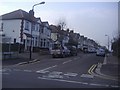
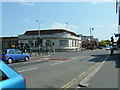
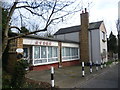
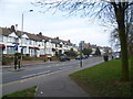
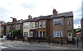
27 photos from this area
Area Information
Key information about the E17 4DZ including its size, population, and administrative classification.
- Area Type
- Postcode
- Area Size
- 8827 m²
- Population
- 1837
- Population Density
- 2210 people/km²
House Prices in E17 4DZ
29
Properties
£278,132
Average Sold Price
£80,000
Lowest Price
£585,000
Highest Price
Showing 29 properties
| Address | Type | Beds | Baths | Last Sale Price | Last Sale Date | |
|---|---|---|---|---|---|---|
| 34 Guildford Road, Walthamstow, E17 4DZ | Terraced | 3 | 3 | £585,000 | May 2023 | |
| 26 Guildford Road, Walthamstow, E17 4DZ | house | - | - | £485,000 | May 2022 | |
| 36 Guildford Road, Walthamstow, E17 4DZ | house | - | - | £430,000 | Oct 2018 | |
| 16 Guildford Road, Walthamstow, E17 4DZ | Detached | 3 | 1 | £485,000 | Apr 2018 | |
| 20 Guildford Road, Walthamstow, E17 4DZ | Semi-detached | 3 | - | £335,000 | Mar 2017 | |
| 54 Guildford Road, Walthamstow, E17 4DZ | house | 3 | - | £300,000 | Mar 2016 | |
| 32 Guildford Road, Walthamstow, E17 4DZ | Terraced | 3 | 1 | £370,000 | Jul 2015 | |
| 8 Guildford Road, Walthamstow, E17 4DZ | Bungalow | - | - | £250,000 | Sep 2014 | |
| 22 Guildford Road, Walthamstow, E17 4DZ | house | 3 | - | £230,000 | Mar 2011 | |
| 24 Guildford Road, Walthamstow, E17 4DZ | house | 5 | 3 | £241,000 | Dec 2009 |
Page 1 of 3
Energy Efficiency in E17 4DZ
Amenities
Schools
| Rank | School | Type | Entry gender | Ages |
|---|
Explore more schools in this area
Go to Schools tabDemographics
Household Size
Family (3-5 people)
most common
Accommodation Type
Houses
most common
Tenure
78
majority
Ethnic Group
White
most common
Religion
N/A
most common
Household Composition
N/A
most common
Age
47
median
Adults (30-64 years)
most common
Household Deprivation
N/A
with no deprivation
NS-SEC
39
in Lower managerial occupations
Explore more demographic insights in this area
Go to Demographics tabPlanning
Planning Constraints
- Flood RiskPremium
- Ramsar Wetland SitesPremium
- Area of Outstanding Natural BeautyPremium
- Protected Nature ReservePremium
- Protected WoodlandPremium