Area Overview for E16 3HP
Photos of E16 3HP
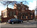
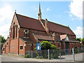
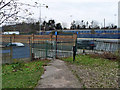
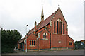
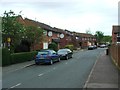
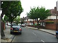
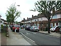
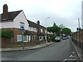
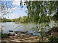
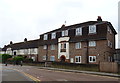
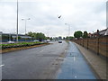
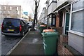
85 photos from this area
Area Information
Key information about the E16 3HP including its size, population, and administrative classification.
- Area Type
- Postcode
- Area Size
- 7398 m²
- Population
- 1658
- Population Density
- 9320 people/km²
House Prices in E16 3HP
41
Properties
£232,471
Average Sold Price
£38,000
Lowest Price
£466,000
Highest Price
Showing 41 properties
| Address | Type | Beds | Baths | Last Sale Price | Last Sale Date | |
|---|---|---|---|---|---|---|
| 8 King George Avenue, West Beckton, London, E16 3HP | Terraced | 2 | 1 | £427,000 | Jun 2025 | |
| 22 King George Avenue, West Beckton, London, E16 3HP | Terraced | 2 | 1 | £406,000 | Nov 2024 | |
| 34 King George Avenue, West Beckton, London, E16 3HP | Terraced | 3 | 2 | £466,000 | Apr 2024 | |
| 58 King George Avenue, West Beckton, London, E16 3HP | house | 3 | 2 | £450,000 | Jun 2022 | |
| 26 King George Avenue, West Beckton, London, E16 3HP | house | 4 | - | £400,000 | Jun 2019 | |
| 50 King George Avenue, West Beckton, London, E16 3HP | Terraced | 2 | 1 | £320,000 | Jun 2017 | |
| 42 King George Avenue, West Beckton, London, E16 3HP | house | - | - | £300,000 | May 2015 | |
| 44 King George Avenue, West Beckton, London, E16 3HP | Terraced | 2 | 1 | £249,995 | Dec 2013 | |
| 20 King George Avenue, West Beckton, London, E16 3HP | Terraced | 2 | 1 | £189,950 | Sep 2013 | |
| 32 King George Avenue, West Beckton, London, E16 3HP | house | - | - | £207,000 | Sep 2010 |
Page 1 of 5
Energy Efficiency in E16 3HP
Amenities
Schools
| Rank | School | Type | Entry gender | Ages |
|---|
Explore more schools in this area
Go to Schools tabDemographics
Household Size
Family (3-5 people)
most common
Accommodation Type
Houses
most common
Tenure
23
majority
Ethnic Group
White
most common
Religion
N/A
most common
Household Composition
N/A
most common
Age
47
median
Adults (30-64 years)
most common
Household Deprivation
N/A
with no deprivation
NS-SEC
19
in Lower managerial occupations
Explore more demographic insights in this area
Go to Demographics tabPlanning
Planning Constraints
- Flood RiskPremium
- Ramsar Wetland SitesPremium
- Area of Outstanding Natural BeautyPremium
- Protected Nature ReservePremium
- Protected WoodlandPremium