Area Overview for E16 3AB
Photos of E16 3AB
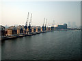
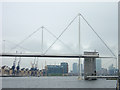


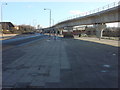
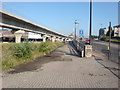
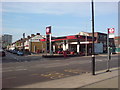
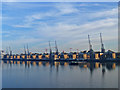
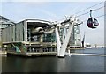
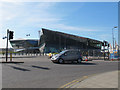
100 photos from this area
Area Information
Key information about the E16 3AB including its size, population, and administrative classification.
- Area Type
- Postcode
- Area Size
- 6710 m²
- Population
- 1425
- Population Density
- 13418 people/km²
House Prices in E16 3AB
46
Properties
£233,875
Average Sold Price
£108,500
Lowest Price
£410,000
Highest Price
Showing 46 properties
| Address | Type | Beds | Baths | Last Sale Price | Last Sale Date | |
|---|---|---|---|---|---|---|
| 108 Martindale Avenue, Canning Town, London, E16 3AB | Flat | 3 | 1 | £325,000 | Dec 2022 | |
| 15 Martindale Avenue, Canning Town, London, E16 3AB | Flat | 3 | 1 | £410,000 | Aug 2019 | |
| 70 Martindale Avenue, Canning Town, London, E16 3AB | Flat | - | - | £335,000 | Mar 2016 | |
| 88 Martindale Avenue, Canning Town, London, E16 3AB | Flat | 3 | 1 | £249,999 | Nov 2014 | |
| 27 Martindale Avenue, Canning Town, London, E16 3AB | house | - | - | £335,000 | Nov 2014 | |
| 100 Martindale Avenue, Canning Town, London, E16 3AB | Flat | - | - | £215,000 | Mar 2014 | |
| 102 Martindale Avenue, Canning Town, London, E16 3AB | Flat | 1 | 1 | £145,000 | Feb 2012 | |
| 62 Martindale Avenue, Canning Town, London, E16 3AB | Flat | - | - | £140,000 | Oct 2006 | |
| 60 Martindale Avenue, Canning Town, London, E16 3AB | Flat | - | - | £149,995 | Jul 2006 | |
| 11 Martindale Avenue, Canning Town, London, E16 3AB | Terraced | - | - | £220,000 | Sep 2004 |
Page 1 of 5
Energy Efficiency in E16 3AB
Amenities
Schools
| Rank | School | Type | Entry gender | Ages |
|---|
Explore more schools in this area
Go to Schools tabDemographics
Household Size
Family (3-5 people)
most common
Accommodation Type
Flats
most common
Tenure
24
majority
Ethnic Group
White
most common
Religion
N/A
most common
Household Composition
N/A
most common
Age
47
median
Adults (30-64 years)
most common
Household Deprivation
N/A
with no deprivation
NS-SEC
19
in Lower managerial occupations
Explore more demographic insights in this area
Go to Demographics tabPlanning
Planning Constraints
- Flood RiskPremium
- Ramsar Wetland SitesPremium
- Area of Outstanding Natural BeautyPremium
- Protected Nature ReservePremium
- Protected WoodlandPremium