Area Overview for E15 1RS
Photos of E15 1RS
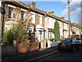
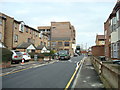
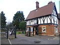

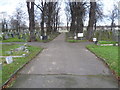
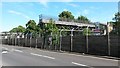
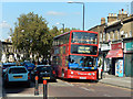
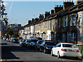
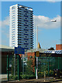
41 photos from this area
Area Information
Key information about the E15 1RS including its size, population, and administrative classification.
- Area Type
- Postcode
- Area Size
- 3924 m²
- Population
- 2119
- Population Density
- 17912 people/km²
House Prices in E15 1RS
34
Properties
£221,590
Average Sold Price
£40,500
Lowest Price
£332,000
Highest Price
Showing 34 properties
| Address | Type | Beds | Baths | Last Sale Price | Last Sale Date | |
|---|---|---|---|---|---|---|
| 27 Carroll Close, Stratford, London, E15 1RS | Maisonette | - | - | £325,000 | Jun 2024 | |
| 25 Carroll Close, Stratford, London, E15 1RS | Maisonette | 2 | 1 | £200,000 | Mar 2023 | |
| 28 Carroll Close, Stratford, London, E15 1RS | Maisonette | - | - | £265,000 | Feb 2023 | |
| 9 Carroll Close, Stratford, London, E15 1RS | Flat | - | - | £270,000 | Mar 2018 | |
| 1 Carroll Close, Stratford, London, E15 1RS | Flat | 3 | 1 | £332,000 | Mar 2018 | |
| 31 Carroll Close, Stratford, London, E15 1RS | Maisonette | 3 | 2 | £297,000 | Oct 2017 | |
| 12 Carroll Close, Stratford, London, E15 1RS | Flat | - | - | £230,000 | Jun 2015 | |
| 21 Carroll Close, Stratford, London, E15 1RS | Maisonette | 3 | 2 | £197,000 | Jul 2006 | |
| 24 Carroll Close, Stratford, London, E15 1RS | Maisonette | - | - | £162,995 | Oct 2005 | |
| 17 Carroll Close, Stratford, London, E15 1RS | Flat | 1 | 1 | £118,000 | May 2004 |
Page 1 of 4
Energy Efficiency in E15 1RS
Amenities
Schools
| Rank | School | Type | Entry gender | Ages |
|---|
Explore more schools in this area
Go to Schools tabDemographics
Household Size
Family (3-5 people)
most common
Accommodation Type
Flats
most common
Tenure
30
majority
Ethnic Group
White
most common
Religion
N/A
most common
Household Composition
N/A
most common
Age
47
median
Adults (30-64 years)
most common
Household Deprivation
N/A
with no deprivation
NS-SEC
29
in Lower managerial occupations
Explore more demographic insights in this area
Go to Demographics tabPlanning
Planning Constraints
- Flood RiskPremium
- Ramsar Wetland SitesPremium
- Area of Outstanding Natural BeautyPremium
- Protected Nature ReservePremium
- Protected WoodlandPremium