Area Overview for E15 1HA
Photos of E15 1HA
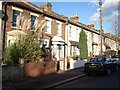
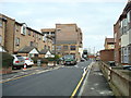
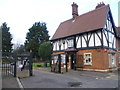

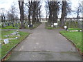
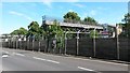
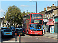
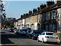
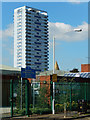
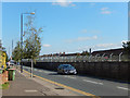
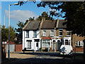
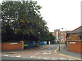
41 photos from this area
Area Information
Key information about the E15 1HA including its size, population, and administrative classification.
- Area Type
- Postcode
- Area Size
- 4757 m²
- Population
- 2119
- Population Density
- 17912 people/km²
House Prices in E15 1HA
46
Properties
£192,136
Average Sold Price
£21,000
Lowest Price
£402,500
Highest Price
Showing 46 properties
| Address | Type | Beds | Baths | Last Sale Price | Last Sale Date | |
|---|---|---|---|---|---|---|
| 22 Forest Lane, Stratford, London, E15 1HA | Flat | 3 | 1 | £350,000 | May 2024 | |
| 15 Forest Lane, Stratford, London, E15 1HA | Maisonette | 4 | 1 | £402,500 | Nov 2022 | |
| 17 Forest Lane, Stratford, London, E15 1HA | Maisonette | - | - | £21,000 | Mar 2019 | |
| 18 Forest Lane, Stratford, London, E15 1HA | Maisonette | 3 | 1 | £345,000 | Feb 2016 | |
| 51A Forest Lane, Stratford, London, E15 1HA | Flat | - | - | £250,000 | Mar 2012 | |
| 19 Forest Lane, Stratford, London, E15 1HA | Maisonette | 2 | 1 | £182,000 | Feb 2007 | |
| 21 Forest Lane, Stratford, London, E15 1HA | Flat | 3 | 1 | £175,000 | Aug 2005 | |
| 43 Forest Lane, Stratford, London, E15 1HA | Terraced | - | - | £155,000 | Sep 2003 | |
| 20 Forest Lane, Stratford, London, E15 1HA | Maisonette | 3 | 1 | £105,000 | Apr 2001 | |
| 16 Forest Lane, Stratford, London, E15 1HA | Flat | 4 | - | £38,000 | Dec 1998 |
Page 1 of 5
Energy Efficiency in E15 1HA
Amenities
Schools
| Rank | School | Type | Entry gender | Ages |
|---|
Explore more schools in this area
Go to Schools tabDemographics
Household Size
Family (3-5 people)
most common
Accommodation Type
Flats
most common
Tenure
30
majority
Ethnic Group
White
most common
Religion
N/A
most common
Household Composition
N/A
most common
Age
47
median
Adults (30-64 years)
most common
Household Deprivation
N/A
with no deprivation
NS-SEC
29
in Lower managerial occupations
Explore more demographic insights in this area
Go to Demographics tabPlanning
Planning Constraints
- Flood RiskPremium
- Ramsar Wetland SitesPremium
- Area of Outstanding Natural BeautyPremium
- Protected Nature ReservePremium
- Protected WoodlandPremium