Area Overview for E14 9UT
Photos of E14 9UT
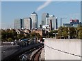

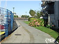
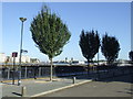
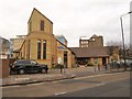
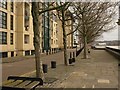
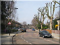
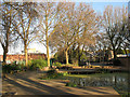
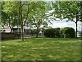

100 photos from this area
Area Information
Key information about the E14 9UT including its size, population, and administrative classification.
- Area Type
- Postcode
- Area Size
- 6803 m²
- Population
- Not available
- Population Density
- Not available
House Prices in E14 9UT
40
Properties
£262,537
Average Sold Price
£75,000
Lowest Price
£575,000
Highest Price
Showing 40 properties
| Address | Type | Beds | Baths | Last Sale Price | Last Sale Date | |
|---|---|---|---|---|---|---|
| 73 Taeping Street, London, E14 9UT | Terraced | 2 | 1 | £575,000 | Sep 2023 | |
| 43 Taeping Street, London, E14 9UT | Flat | 2 | - | £422,500 | Sep 2021 | |
| 59 Taeping Street, London, E14 9UT | Flat | - | - | £390,000 | Jan 2021 | |
| 47 Taeping Street, London, E14 9UT | Flat | - | - | £325,200 | May 2015 | |
| 65 Taeping Street, London, E14 9UT | Flat | 2 | 1 | £499,950 | Jul 2014 | |
| 71 Taeping Street, London, E14 9UT | Flat | 2 | 1 | £315,000 | Jun 2014 | |
| 39 Taeping Street, London, E14 9UT | Terraced | 3 | 2 | £430,000 | Dec 2013 | |
| 69 Taeping Street, London, E14 9UT | Flat | 3 | 2 | £250,000 | Jan 2013 | |
| 70 Taeping Street, London, E14 9UT | Flat | 6 | 7 | £232,000 | Sep 2011 | |
| 48 Taeping Street, London, E14 9UT | house | 3 | - | £377,500 | Aug 2011 |
Page 1 of 4
Energy Efficiency in E14 9UT
Amenities
Schools
| Rank | School | Type | Entry gender | Ages |
|---|
Explore more schools in this area
Go to Schools tabDemographics
Household Size
Two person
most common
Accommodation Type
Flats
most common
Tenure
32
majority
Ethnic Group
White
most common
Religion
N/A
most common
Household Composition
N/A
most common
Age
47
median
Adults (30-64 years)
most common
Household Deprivation
N/A
with no deprivation
NS-SEC
50
in Lower managerial occupations
Explore more demographic insights in this area
Go to Demographics tabPlanning
Planning Constraints
- Flood RiskPremium
- Ramsar Wetland SitesPremium
- Area of Outstanding Natural BeautyPremium
- Protected Nature ReservePremium
- Protected WoodlandPremium