Area Overview for E14 7SU
Photos of E14 7SU
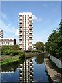
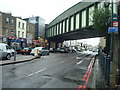
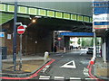
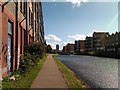

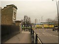

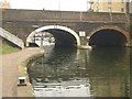
100 photos from this area
Area Information
Key information about the E14 7SU including its size, population, and administrative classification.
- Area Type
- Postcode
- Area Size
- 2.0 hectares
- Population
- Not available
- Population Density
- Not available
House Prices in E14 7SU
52
Properties
£309,000
Average Sold Price
£105,000
Lowest Price
£700,000
Highest Price
Showing 52 properties
| Address | Type | Beds | Baths | Last Sale Price | Last Sale Date | |
|---|---|---|---|---|---|---|
| 69 Carr Street, London, E14 7SU | Terraced | 3 | 1 | £290,000 | Sep 2025 | |
| 106 Carr Street, London, E14 7SU | Flat | - | - | £385,000 | Aug 2024 | |
| 17 Carr Street, London, E14 7SU | Retail | 4 | 2 | £700,000 | Sep 2022 | |
| 67 Carr Street, London, E14 7SU | house | - | - | £300,000 | Aug 2015 | |
| 114 Carr Street, London, E14 7SU | house | 3 | 1 | £515,000 | Jun 2015 | |
| 63 Carr Street, London, E14 7SU | house | - | - | £247,999 | Sep 2003 | |
| 112 Carr Street, London, E14 7SU | house | - | - | £210,000 | Sep 2003 | |
| 110 Carr Street, London, E14 7SU | house | 2 | 1 | £183,000 | Jun 2002 | |
| 116 Carr Street, London, E14 7SU | Semi-detached | 1 | 1 | £154,000 | Oct 2000 | |
| 108 Carr Street, London, E14 7SU | Flat | - | - | £105,000 | Jan 2000 |
Page 1 of 6
Energy Efficiency in E14 7SU
Amenities
Schools
| Rank | School | Type | Entry gender | Ages |
|---|
Explore more schools in this area
Go to Schools tabDemographics
Household Size
Family (3-5 people)
most common
Accommodation Type
Houses
most common
Tenure
14
majority
Ethnic Group
asian_total
most common
Religion
N/A
most common
Household Composition
N/A
most common
Age
22
median
Adults (30-64 years)
most common
Household Deprivation
N/A
with no deprivation
NS-SEC
23
in Lower managerial occupations
Explore more demographic insights in this area
Go to Demographics tabPlanning
Planning Constraints
- Flood RiskPremium
- Ramsar Wetland SitesPremium
- Area of Outstanding Natural BeautyPremium
- Protected Nature ReservePremium
- Protected WoodlandPremium