Area Overview for E14 3UU
Photos of E14 3UU

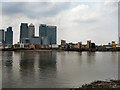
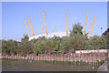
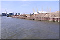

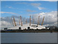
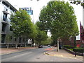
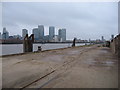
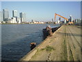
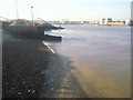
100 photos from this area
Area Information
Key information about the E14 3UU including its size, population, and administrative classification.
- Area Type
- Postcode
- Area Size
- 2.3 hectares
- Population
- 1620
- Population Density
- 24000 people/km²
House Prices in E14 3UU
29
Properties
£229,849
Average Sold Price
£50,000
Lowest Price
£610,000
Highest Price
Showing 29 properties
| Address | Type | Beds | Baths | Last Sale Price | Last Sale Date | |
|---|---|---|---|---|---|---|
| 85 Amsterdam Road, London, E14 3UU | Flat | 2 | 2 | £430,000 | Aug 2023 | |
| 3 Amsterdam Road, London, E14 3UU | Flat | 2 | 2 | £440,000 | Jul 2023 | |
| 29 Amsterdam Road, London, E14 3UU | Flat | - | - | £259,888 | Dec 2022 | |
| 17 Amsterdam Road, London, E14 3UU | Flat | - | - | £610,000 | Jul 2022 | |
| 49 Amsterdam Road, London, E14 3UU | Flat | - | - | £180,000 | Mar 2021 | |
| 5 Amsterdam Road, London, E14 3UU | Flat | - | - | £445,000 | Mar 2019 | |
| 79 Amsterdam Road, London, E14 3UU | Flat | - | - | £415,000 | Feb 2018 | |
| 83 Amsterdam Road, London, E14 3UU | Flat | - | - | £340,000 | Dec 2016 | |
| 25 Amsterdam Road, London, E14 3UU | Flat | - | - | £170,000 | Mar 2014 | |
| 31 Amsterdam Road, London, E14 3UU | Flat | - | - | £180,000 | Feb 2013 |
Page 1 of 3
Energy Efficiency in E14 3UU
Amenities
Schools
| Rank | School | Type | Entry gender | Ages |
|---|
Explore more schools in this area
Go to Schools tabDemographics
Household Size
Family (3-5 people)
most common
Accommodation Type
Flats
most common
Tenure
17
majority
Ethnic Group
asian_total
most common
Religion
N/A
most common
Household Composition
N/A
most common
Age
47
median
Adults (30-64 years)
most common
Household Deprivation
N/A
with no deprivation
NS-SEC
24
in Lower managerial occupations
Explore more demographic insights in this area
Go to Demographics tabPlanning
Planning Constraints
- Flood RiskPremium
- Ramsar Wetland SitesPremium
- Area of Outstanding Natural BeautyPremium
- Protected Nature ReservePremium
- Protected WoodlandPremium