Area Overview for E13 0QU
Photos of E13 0QU
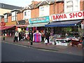
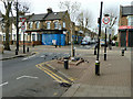
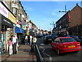
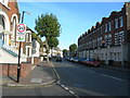
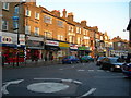
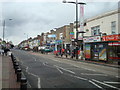
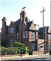

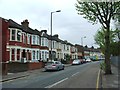
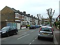
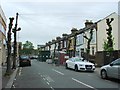
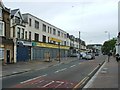
71 photos from this area
Area Information
Key information about the E13 0QU including its size, population, and administrative classification.
- Area Type
- Postcode
- Area Size
- 5347 m²
- Population
- 2465
- Population Density
- 23521 people/km²
House Prices in E13 0QU
49
Properties
£193,681
Average Sold Price
£49,950
Lowest Price
£330,000
Highest Price
Showing 49 properties
| Address | Type | Beds | Baths | Last Sale Price | Last Sale Date | |
|---|---|---|---|---|---|---|
| 225 Plashet Road, Plaistow, London, E13 0QU | house | - | - | £249,500 | Feb 2012 | |
| First Floor, 229 Plashet Road, Plaistow, London, E13 0QU | Flat | 1 | 1 | £330,000 | Jan 2011 | |
| 227 Plashet Road, Plaistow, London, E13 0QU | house | 3 | 2 | £240,000 | Aug 2009 | |
| 235A Plashet Road, Plaistow, London, E13 0QU | Flat | - | - | £300,000 | Apr 2009 | |
| 239A Plashet Road, Plaistow, London, E13 0QU | Flat | - | - | £160,000 | May 2006 | |
| 247A Plashet Road, Plaistow, London, E13 0QU | Flat | - | - | £49,950 | May 1997 | |
| Flat, 245 Plashet Road, Plaistow, London, E13 0QU | Flat | 2 | 1 | £110,000 | Jun 1996 | |
| 245A Plashet Road, Plaistow, London, E13 0QU | Flat | 2 | 1 | £110,000 | Jun 1996 | |
| Ground Floor Flat, 227 Plashet Road, Plaistow, London, E13 0QU | undefined | - | - | - | - | |
| Ground Floor Flat, 215 Plashet Road, Plaistow, London, E13 0QU | undefined | - | - | - | - |
Page 1 of 5
Energy Efficiency in E13 0QU
Amenities
Schools
| Rank | School | Type | Entry gender | Ages |
|---|
Explore more schools in this area
Go to Schools tabDemographics
Household Size
Family (3-5 people)
most common
Accommodation Type
Houses
most common
Tenure
39
majority
Ethnic Group
asian_total
most common
Religion
N/A
most common
Household Composition
N/A
most common
Age
47
median
Adults (30-64 years)
most common
Household Deprivation
N/A
with no deprivation
NS-SEC
19
in Lower managerial occupations
Explore more demographic insights in this area
Go to Demographics tabPlanning
Planning Constraints
- Flood RiskPremium
- Ramsar Wetland SitesPremium
- Area of Outstanding Natural BeautyPremium
- Protected Nature ReservePremium
- Protected WoodlandPremium