Area Overview for E13 0DJ
Photos of E13 0DJ
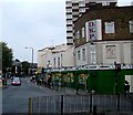
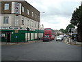
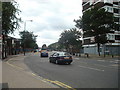
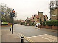
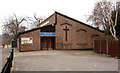
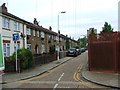
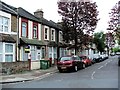
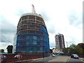
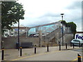
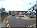
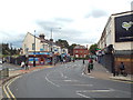
70 photos from this area
Area Information
Key information about the E13 0DJ including its size, population, and administrative classification.
- Area Type
- Postcode
- Area Size
- 7391 m²
- Population
- 1508
- Population Density
- 13860 people/km²
House Prices in E13 0DJ
43
Properties
£271,500
Average Sold Price
£117,000
Lowest Price
£495,000
Highest Price
Showing 43 properties
| Address | Type | Beds | Baths | Last Sale Price | Last Sale Date | |
|---|---|---|---|---|---|---|
| 51 Upper Road, Plaistow, London, E13 0DJ | Terraced | 3 | 1 | £495,000 | Mar 2025 | |
| 53 Upper Road, Plaistow, London, E13 0DJ | house | - | - | £460,000 | Feb 2024 | |
| 43 Upper Road, Plaistow, London, E13 0DJ | house | - | - | £475,000 | Jul 2022 | |
| 69 Upper Road, Plaistow, London, E13 0DJ | Terraced | 3 | - | £420,000 | Jul 2017 | |
| 37 Upper Road, Plaistow, London, E13 0DJ | Flat | - | 1 | £125,000 | Feb 2014 | |
| 65 Upper Road, Plaistow, London, E13 0DJ | Terraced | - | - | £247,000 | Sep 2007 | |
| 11 Upper Road, Plaistow, London, E13 0DJ | Flat | - | - | £142,500 | May 2007 | |
| 41 Upper Road, Plaistow, London, E13 0DJ | Terraced | 4 | 2 | £196,000 | Aug 2003 | |
| 81 Upper Road, Plaistow, London, E13 0DJ | house | - | - | £189,000 | Jul 2002 | |
| 59 Upper Road, Plaistow, London, E13 0DJ | house | - | - | £120,000 | Nov 2001 |
Page 1 of 5
Energy Efficiency in E13 0DJ
Amenities
Schools
| Rank | School | Type | Entry gender | Ages |
|---|
Explore more schools in this area
Go to Schools tabDemographics
Household Size
Family (3-5 people)
most common
Accommodation Type
Houses
most common
Tenure
29
majority
Ethnic Group
White
most common
Religion
N/A
most common
Household Composition
N/A
most common
Age
47
median
Adults (30-64 years)
most common
Household Deprivation
N/A
with no deprivation
NS-SEC
23
in Lower managerial occupations
Explore more demographic insights in this area
Go to Demographics tabPlanning
Planning Constraints
- Flood RiskPremium
- Ramsar Wetland SitesPremium
- Area of Outstanding Natural BeautyPremium
- Protected Nature ReservePremium
- Protected WoodlandPremium