Area Overview for E12 6HP
Photos of E12 6HP
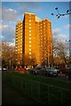
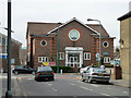
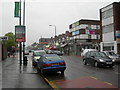
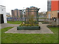
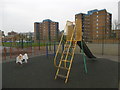
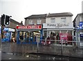
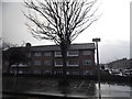
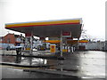

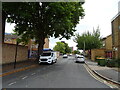
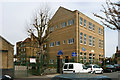
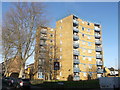
39 photos from this area
Area Information
Key information about the E12 6HP including its size, population, and administrative classification.
- Area Type
- Postcode
- Area Size
- 5391 m²
- Population
- 2096
- Population Density
- 21344 people/km²
House Prices in E12 6HP
35
Properties
£192,348
Average Sold Price
£49,000
Lowest Price
£410,000
Highest Price
Showing 35 properties
| Address | Type | Beds | Baths | Last Sale Price | Last Sale Date | |
|---|---|---|---|---|---|---|
| 289 Dersingham Avenue, Manor Park, London, E12 6HP | Terraced | 3 | 1 | £410,000 | Feb 2025 | |
| 259 Dersingham Avenue, Manor Park, London, E12 6HP | Terraced | 2 | 1 | £200,001 | Jun 2024 | |
| 255 Dersingham Avenue, Manor Park, London, E12 6HP | house | 4 | 1 | £410,000 | Feb 2022 | |
| 281 Dersingham Avenue, Manor Park, London, E12 6HP | Terraced | 1 | 1 | £350,000 | Jul 2016 | |
| 277 Dersingham Avenue, Manor Park, London, E12 6HP | Terraced | 3 | - | £310,000 | Aug 2015 | |
| 273 Dersingham Avenue, Manor Park, London, E12 6HP | Terraced | 3 | - | £236,500 | Oct 2013 | |
| 303 Dersingham Avenue, Manor Park, London, E12 6HP | house | - | - | £207,000 | Aug 2013 | |
| 293 Dersingham Avenue, Manor Park, London, E12 6HP | Terraced | 3 | - | £237,000 | Jul 2013 | |
| 251 Dersingham Avenue, Manor Park, London, E12 6HP | Terraced | 4 | 1 | £185,000 | Mar 2012 | |
| 297 Dersingham Avenue, Manor Park, London, E12 6HP | Terraced | 3 | 1 | £211,000 | Aug 2010 |
Page 1 of 4
Energy Efficiency in E12 6HP
Amenities
Schools
| Rank | School | Type | Entry gender | Ages |
|---|
Explore more schools in this area
Go to Schools tabDemographics
Household Size
Family (3-5 people)
most common
Accommodation Type
Houses
most common
Tenure
38
majority
Ethnic Group
asian_total
most common
Religion
N/A
most common
Household Composition
N/A
most common
Age
47
median
Adults (30-64 years)
most common
Household Deprivation
N/A
with no deprivation
NS-SEC
16
in Lower managerial occupations
Explore more demographic insights in this area
Go to Demographics tabPlanning
Planning Constraints
- Flood RiskPremium
- Ramsar Wetland SitesPremium
- Area of Outstanding Natural BeautyPremium
- Protected Nature ReservePremium
- Protected WoodlandPremium