Area Overview for E12 5QU
Photos of E12 5QU
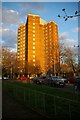

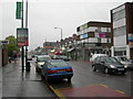
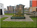
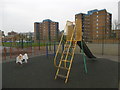

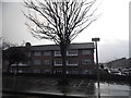


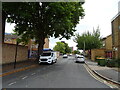
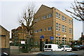
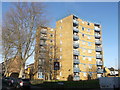
39 photos from this area
Area Information
Key information about the E12 5QU including its size, population, and administrative classification.
- Area Type
- Postcode
- Area Size
- 6090 m²
- Population
- 1598
- Population Density
- 18646 people/km²
House Prices in E12 5QU
36
Properties
£246,000
Average Sold Price
£120,000
Lowest Price
£395,000
Highest Price
Showing 36 properties
| Address | Type | Beds | Baths | Last Sale Price | Last Sale Date | |
|---|---|---|---|---|---|---|
| 215 Parkhurst Road, Manor Park, London, E12 5QU | Terraced | 3 | 2 | £395,000 | Jan 2019 | |
| 225 Parkhurst Road, Manor Park, London, E12 5QU | house | - | - | £355,000 | Oct 2016 | |
| 207 Parkhurst Road, Manor Park, London, E12 5QU | house | - | - | £350,000 | Aug 2016 | |
| 217 Parkhurst Road, Manor Park, London, E12 5QU | house | - | - | £290,000 | Feb 2016 | |
| 259 Parkhurst Road, Manor Park, London, E12 5QU | Flat | - | - | £120,000 | Jan 2015 | |
| 257 Parkhurst Road, Manor Park, London, E12 5QU | Flat | 1 | - | £148,000 | Oct 2014 | |
| 263 Parkhurst Road, Manor Park, London, E12 5QU | Flat | - | - | £145,000 | Oct 2014 | |
| 201 Parkhurst Road, Manor Park, London, E12 5QU | Terraced | 1 | 1 | £261,000 | Apr 2014 | |
| 221 Parkhurst Road, Manor Park, London, E12 5QU | house | - | - | £150,000 | Dec 2001 | |
| 219 Parkhurst Road, Manor Park, London, E12 5QU | Terraced | 3 | 1 | - | - |
Page 1 of 4
Energy Efficiency in E12 5QU
Amenities
Schools
| Rank | School | Type | Entry gender | Ages |
|---|
Explore more schools in this area
Go to Schools tabDemographics
Household Size
Family (3-5 people)
most common
Accommodation Type
Houses
most common
Tenure
32
majority
Ethnic Group
asian_total
most common
Religion
N/A
most common
Household Composition
N/A
most common
Age
47
median
Adults (30-64 years)
most common
Household Deprivation
N/A
with no deprivation
NS-SEC
17
in Lower managerial occupations
Explore more demographic insights in this area
Go to Demographics tabPlanning
Planning Constraints
- Flood RiskPremium
- Ramsar Wetland SitesPremium
- Area of Outstanding Natural BeautyPremium
- Protected Nature ReservePremium
- Protected WoodlandPremium