Area Overview for E11 4QY
Photos of E11 4QY
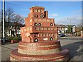
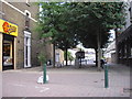
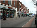
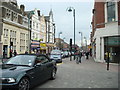
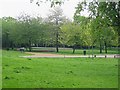
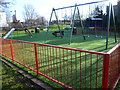
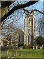
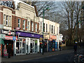
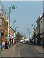
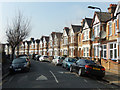
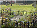
100 photos from this area
Area Information
Key information about the E11 4QY including its size, population, and administrative classification.
- Area Type
- Postcode
- Area Size
- 9389 m²
- Population
- 2066
- Population Density
- 8736 people/km²
House Prices in E11 4QY
44
Properties
£336,156
Average Sold Price
£45,995
Lowest Price
£1,165,000
Highest Price
Showing 44 properties
| Address | Type | Beds | Baths | Last Sale Price | Last Sale Date | |
|---|---|---|---|---|---|---|
| 30 Harold Road, Leytonstone, E11 4QY | Flat | 2 | 1 | £455,000 | Mar 2025 | |
| 18 Harold Road, Leytonstone, E11 4QY | house | - | - | £737,500 | Feb 2021 | |
| 14A Harold Road, Leytonstone, E11 4QY | Flat | - | - | £460,000 | Sep 2020 | |
| 4 Harold Road, Leytonstone, E11 4QY | house | 4 | 3 | £1,165,000 | Dec 2016 | |
| 12 Harold Road, Leytonstone, E11 4QY | Terraced | 3 | 2 | £481,000 | Dec 2013 | |
| 52 Harold Road, Leytonstone, E11 4QY | house | 4 | - | £360,000 | Feb 2007 | |
| 28 Harold Road, Leytonstone, E11 4QY | Flat | - | - | £185,000 | Jan 2006 | |
| 64 Harold Road, Leytonstone, E11 4QY | house | 1 | 1 | £278,000 | Jan 2005 | |
| 48 Harold Road, Leytonstone, E11 4QY | Terraced | - | - | £295,000 | Sep 2004 | |
| 20 Harold Road, Leytonstone, E11 4QY | Terraced | - | - | £270,000 | Jan 2003 |
Page 1 of 5
Energy Efficiency in E11 4QY
Amenities
Schools
| Rank | School | Type | Entry gender | Ages |
|---|
Explore more schools in this area
Go to Schools tabDemographics
Household Size
Family (3-5 people)
most common
Accommodation Type
Flats
most common
Tenure
44
majority
Ethnic Group
White
most common
Religion
N/A
most common
Household Composition
N/A
most common
Age
47
median
Adults (30-64 years)
most common
Household Deprivation
N/A
with no deprivation
NS-SEC
40
in Lower managerial occupations
Explore more demographic insights in this area
Go to Demographics tabPlanning
Planning Constraints
- Flood RiskPremium
- Ramsar Wetland SitesPremium
- Area of Outstanding Natural BeautyPremium
- Protected Nature ReservePremium
- Protected WoodlandPremium