Area Overview for E11 3PH
Photos of E11 3PH
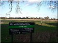
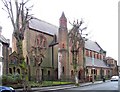
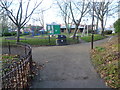
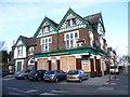

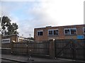
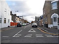
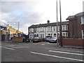
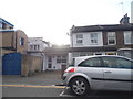
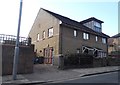
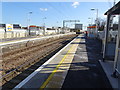
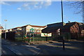
88 photos from this area
Area Information
Key information about the E11 3PH including its size, population, and administrative classification.
- Area Type
- Postcode
- Area Size
- 7228 m²
- Population
- 1892
- Population Density
- 17649 people/km²
House Prices in E11 3PH
28
Properties
£286,700
Average Sold Price
£74,995
Lowest Price
£630,000
Highest Price
Showing 28 properties
| Address | Type | Beds | Baths | Last Sale Price | Last Sale Date | |
|---|---|---|---|---|---|---|
| 15 Cobden Road, Leytonstone, E11 3PH | Terraced | 2 | 2 | £608,000 | Sep 2025 | |
| 40 Cobden Road, Leytonstone, E11 3PH | house | 3 | 1 | £630,000 | Mar 2022 | |
| 23 Cobden Road, Leytonstone, E11 3PH | Terraced | 3 | 1 | £385,500 | Nov 2017 | |
| 5 Cobden Road, Leytonstone, E11 3PH | Terraced | 2 | 1 | £240,000 | Apr 2012 | |
| 17 Cobden Road, Leytonstone, E11 3PH | house | - | - | £230,000 | Dec 2007 | |
| 8 Cobden Road, Leytonstone, E11 3PH | house | - | - | £235,000 | Aug 2006 | |
| 36 Cobden Road, Leytonstone, E11 3PH | house | - | - | £245,000 | May 2003 | |
| 11 Cobden Road, Leytonstone, E11 3PH | house | - | - | £121,500 | Aug 2001 | |
| 2 Cobden Road, Leytonstone, E11 3PH | house | - | - | £97,000 | Oct 1999 | |
| 14 Cobden Road, Leytonstone, E11 3PH | Terraced | - | - | £74,995 | Mar 1998 |
Page 1 of 3
Energy Efficiency in E11 3PH
Amenities
Schools
| Rank | School | Type | Entry gender | Ages |
|---|
Explore more schools in this area
Go to Schools tabDemographics
Household Size
Family (3-5 people)
most common
Accommodation Type
Flats
most common
Tenure
19
majority
Ethnic Group
White
most common
Religion
N/A
most common
Household Composition
N/A
most common
Age
47
median
Adults (30-64 years)
most common
Household Deprivation
N/A
with no deprivation
NS-SEC
20
in Lower managerial occupations
Explore more demographic insights in this area
Go to Demographics tabPlanning
Planning Constraints
- Flood RiskPremium
- Ramsar Wetland SitesPremium
- Area of Outstanding Natural BeautyPremium
- Protected Nature ReservePremium
- Protected WoodlandPremium