Area Overview for E11 3DL
Photos of E11 3DL
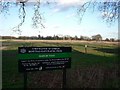
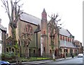
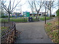
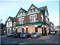
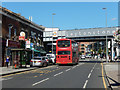
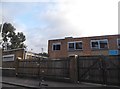
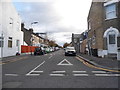
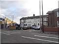
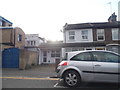
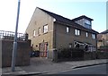
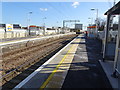
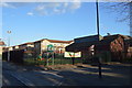
88 photos from this area
Area Information
Key information about the E11 3DL including its size, population, and administrative classification.
- Area Type
- Postcode
- Area Size
- 5386 m²
- Population
- 1696
- Population Density
- 16994 people/km²
House Prices in E11 3DL
34
Properties
£534,602
Average Sold Price
£67,500
Lowest Price
£1,125,000
Highest Price
Showing 34 properties
| Address | Type | Beds | Baths | Last Sale Price | Last Sale Date | |
|---|---|---|---|---|---|---|
| 68 Malvern Road, Leytonstone, E11 3DL | Terraced | 3 | 1 | £897,500 | Nov 2025 | |
| 120 Malvern Road, Leytonstone, E11 3DL | Terraced | 4 | 3 | £1,125,000 | Dec 2024 | |
| 64 Malvern Road, Leytonstone, E11 3DL | Terraced | 3 | 1 | £840,000 | Aug 2024 | |
| 82 Malvern Road, Leytonstone, E11 3DL | house | 3 | 1 | £762,750 | Oct 2023 | |
| 90 Malvern Road, Leytonstone, E11 3DL | Retail | 3 | 1 | £885,200 | Jul 2022 | |
| 60 Malvern Road, Leytonstone, E11 3DL | Terraced | 5 | 1 | £600,000 | Jun 2021 | |
| 92 Malvern Road, Leytonstone, E11 3DL | house | 4 | - | £755,000 | May 2021 | |
| 80 Malvern Road, Leytonstone, E11 3DL | Terraced | 3 | 1 | £620,000 | Sep 2019 | |
| 126 Malvern Road, Leytonstone, E11 3DL | house | - | - | £570,000 | Sep 2018 | |
| 94 Malvern Road, Leytonstone, E11 3DL | Terraced | 4 | 1 | £650,000 | Oct 2017 |
Page 1 of 4
Energy Efficiency in E11 3DL
Amenities
Schools
| Rank | School | Type | Entry gender | Ages |
|---|
Explore more schools in this area
Go to Schools tabDemographics
Household Size
Family (3-5 people)
most common
Accommodation Type
Flats
most common
Tenure
36
majority
Ethnic Group
White
most common
Religion
N/A
most common
Household Composition
N/A
most common
Age
47
median
Adults (30-64 years)
most common
Household Deprivation
N/A
with no deprivation
NS-SEC
29
in Lower managerial occupations
Explore more demographic insights in this area
Go to Demographics tabPlanning
Planning Constraints
- Flood RiskPremium
- Ramsar Wetland SitesPremium
- Area of Outstanding Natural BeautyPremium
- Protected Nature ReservePremium
- Protected WoodlandPremium