Area Overview for E11 2SL
Photos of E11 2SL
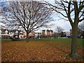
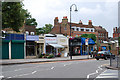

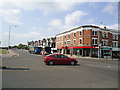
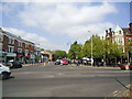
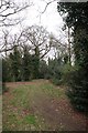
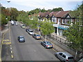

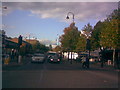
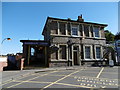
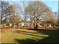
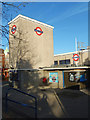
100 photos from this area
Area Information
Key information about the E11 2SL including its size, population, and administrative classification.
- Area Type
- Postcode
- Area Size
- 3742 m²
- Population
- 1735
- Population Density
- 5010 people/km²
House Prices in E11 2SL
34
Properties
£439,233
Average Sold Price
£225,000
Lowest Price
£695,000
Highest Price
Showing 34 properties
| Address | Type | Beds | Baths | Last Sale Price | Last Sale Date | |
|---|---|---|---|---|---|---|
| 21, The Hollies, New Wanstead, Wanstead, London, E11 2SL | Flat | - | - | £475,000 | Dec 2023 | |
| 18, The Hollies, New Wanstead, Wanstead, London, E11 2SL | Flat | 2 | 1 | £445,000 | Dec 2023 | |
| 24, The Hollies, New Wanstead, Wanstead, London, E11 2SL | Flat | - | - | £570,000 | Jul 2023 | |
| 23, The Hollies, New Wanstead, Wanstead, London, E11 2SL | Flat | - | - | £520,000 | Jul 2023 | |
| 20, The Hollies, New Wanstead, Wanstead, London, E11 2SL | Flat | 3 | 2 | £479,999 | May 2023 | |
| 27, The Hollies, New Wanstead, Wanstead, London, E11 2SL | Flat | 2 | 1 | £625,000 | Apr 2023 | |
| 1, The Hollies, New Wanstead, Wanstead, London, E11 2SL | Flat | 2 | 1 | £505,000 | Aug 2022 | |
| 9, The Hollies, New Wanstead, Wanstead, London, E11 2SL | Flat | 2 | 1 | £490,000 | May 2022 | |
| 29, The Hollies, New Wanstead, Wanstead, London, E11 2SL | Flat | - | - | £485,000 | Mar 2022 | |
| 15, The Hollies, New Wanstead, Wanstead, London, E11 2SL | Flat | - | - | £495,000 | Jun 2021 |
Page 1 of 4
Energy Efficiency in E11 2SL
Amenities
Schools
| Rank | School | Type | Entry gender | Ages |
|---|
Explore more schools in this area
Go to Schools tabDemographics
Household Size
One person
most common
Accommodation Type
Flats
most common
Tenure
35
majority
Ethnic Group
White
most common
Religion
N/A
most common
Household Composition
N/A
most common
Age
47
median
Adults (30-64 years)
most common
Household Deprivation
N/A
with no deprivation
NS-SEC
40
in Lower managerial occupations
Explore more demographic insights in this area
Go to Demographics tabPlanning
Planning Constraints
- Flood RiskPremium
- Ramsar Wetland SitesPremium
- Area of Outstanding Natural BeautyPremium
- Protected Nature ReservePremium
- Protected WoodlandPremium