Area Overview for E11 2RQ
Photos of E11 2RQ
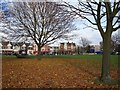
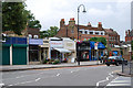

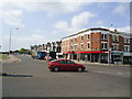
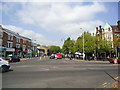
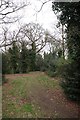
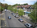


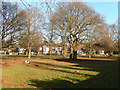
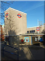
100 photos from this area
Area Information
Key information about the E11 2RQ including its size, population, and administrative classification.
- Area Type
- Postcode
- Area Size
- 1.7 hectares
- Population
- 1945
- Population Density
- 5556 people/km²
House Prices in E11 2RQ
58
Properties
£690,679
Average Sold Price
£126,500
Lowest Price
£1,635,000
Highest Price
Showing 58 properties
| Address | Type | Beds | Baths | Last Sale Price | Last Sale Date | |
|---|---|---|---|---|---|---|
| 24 Spratt Hall Road, Wanstead, London, E11 2RQ | Terraced | 4 | 2 | £1,350,000 | Jul 2025 | |
| 20 Spratt Hall Road, Wanstead, London, E11 2RQ | house | 1 | 1 | £660,000 | Mar 2025 | |
| 33 Spratt Hall Road, Wanstead, London, E11 2RQ | house | - | - | £1,052,500 | Jan 2025 | |
| 7 Spratt Hall Road, Wanstead, London, E11 2RQ | Semi-detached | 3 | 1 | £1,100,000 | Jul 2024 | |
| 13 Spratt Hall Road, Wanstead, London, E11 2RQ | house | 4 | 2 | £1,150,000 | May 2022 | |
| 37 Spratt Hall Road, Wanstead, London, E11 2RQ | Terraced | 4 | - | £1,260,000 | Jan 2022 | |
| 32 Spratt Hall Road, Wanstead, London, E11 2RQ | Semi-detached | 3 | - | £1,027,500 | Nov 2020 | |
| 51 Spratt Hall Road, Wanstead, London, E11 2RQ | Bungalow | - | - | £750,000 | Jul 2018 | |
| 9 Spratt Hall Road, Wanstead, London, E11 2RQ | house | - | - | £1,050,000 | Dec 2017 | |
| 31 Spratt Hall Road, Wanstead, London, E11 2RQ | Terraced | - | - | £1,250,000 | Nov 2017 |
Page 1 of 6
Energy Efficiency in E11 2RQ
Amenities
Schools
| Rank | School | Type | Entry gender | Ages |
|---|
Explore more schools in this area
Go to Schools tabDemographics
Household Size
One person
most common
Accommodation Type
Flats
most common
Tenure
53
majority
Ethnic Group
White
most common
Religion
N/A
most common
Household Composition
N/A
most common
Age
47
median
Adults (30-64 years)
most common
Household Deprivation
N/A
with no deprivation
NS-SEC
57
in Lower managerial occupations
Explore more demographic insights in this area
Go to Demographics tabPlanning
Planning Constraints
- Flood RiskPremium
- Ramsar Wetland SitesPremium
- Area of Outstanding Natural BeautyPremium
- Protected Nature ReservePremium
- Protected WoodlandPremium